AA Atlases S.
1 total work
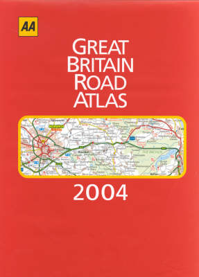
Great Britain Road Atlas
Published 1 August 2003
This edition includes journey-planning information that shows principal routes, motorway junctions and major towns and cities at a glance, and also includes a mileage chart with journey times which helps you plan ahead. There is up-to-date information on the central London congestion charging zone and the M6 toll motor "(Birmingham Exressway"). The AA EuroRAP (European Road Assesment Programme) risk rating map provides information on the safest roads (shown in green) and which are the most dangerous (shown in black). Navigation of towns is made easy with street-indexed plans, plus an 11 page map section on central London, as well as a Leeds Bradford International airport plan. Ireland is also included at 16 miles to 1 inch.