AA Glovebox Atlas S.
1 total work
AA Glovebox Atlas Ireland
Published 15 April 2004
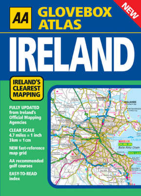
New for 2004, this popular A5 Atlas combines the AA 's tradition of clear mapping with a practical glovebox format. Clear, accurate and up-to-date; Presented in a handy A5 size; Easy-to-read 3,500 place name index, plus tourist sites; Map legend in English, Gaeilge, Frantais, Deutsch. Ireland's clearest road mapping; Main-map scale 1:300,000 or 3km to 1cm (4.7 miles to 1 inch); Fully updated from Ireland 's Official Mapping Agencies, OSI and OSNI; Irish National Grid shown; New M1 Dublin to Dundalk motorway and Drogheda bypass toll Motorway; New fast-reference map grid; Primary route destinations highlighted; Easy-to-follow toll-free motorways and dual carriageways; Tourist symbols shown; AA approved camping sites and AA recommended golf courses; Car parks and picnic sites in rural areas; At-a-glance scenic routes and drives; Angling rivers and loughs clearly shown; Distances clearly marked along all main roads.
