Mapworlds
6 total works
This is a geography series where each volume explores a single theme with illustrated maps. The illustrations and text clearly relate each topic to the lives of the people living in each country. The material is presented in a graphic and simple way, and has cross-curricular uses.
Maps, text, and illustrations provide information about the origins, distribution, and culture of peoples in various regions of the world.
This is a geography series where each volume explores a single theme with illustrated maps. The illustrations and text clearly relate each topic to the lives of the people living in each country. The material is presented in a graphic and simple way, and has cross-curricular uses.
This is a geography series where each volume explores a single theme with illustrated maps. The illustrations and text clearly relate each topic to the lives of the people living in each country. The material is presented in a graphic and simple way, and has cross-curricular uses.
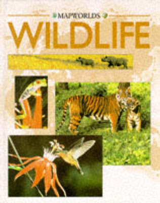
This is just one book in a new geography ser ies. Using brightly illustrated maps, it explores the varyin g wildlife in different countries. Aimed at children aged 8 and over, the material is presented in a graphic and simple way. '
Summary, Maps and text show the distribution of natural resources throughout the world.

