Spatial Information Systems
3 total works
Managing Geographic Information System Projects
by William E. Huxhold and Allan G. Levinsohn
Published 16 March 1995
Many of the current publications on GIS focus on the mechanics, technology, and project-specification applications of GIS. This book teaches the reader to successfully implement GIS from a management and organizational perspective. GIS is becoming widely used, and is evolving from a mapping tool used for support functions to a technology capable of redesigning land administration. In other sectors, information technology has had a dramatic effect on operations.
This book examines those experiences, and applies them to GIS implementation.
The introductory section explores the GIS paradigm - the GIS technology itself does not cause improvements, but that the technology enables changes that can improve operational efficiency and effectiveness. Experience in GIS implementation has shown that the management and organizational issues are more significant than the technical issues in successful GIS implementation. An interdisciplinary approach is taken; information resource management and management science concepts are applied to
GIS. The remainder of the book teaches the reader the necessary frameworks and techniques to plan, design and implement GIS as a technological infrastructure within an organization.
An Introduction to Urban Geographic Information Systems
by William E. Huxhold
Published 21 March 1991
Geographic information systems (GIS) combine computer graphics technology with data base structures and techniques of spatial analysis. The technology is growing rapidly as cities and counties have begun to investigate GIS as a solution to their information processing problems. This book, the second in the series Spatial Information Systems, describes the basic concepts of automated mapping, data base structures, topological structures, land records information, and spatial analysis techniques with specific reference to US models.
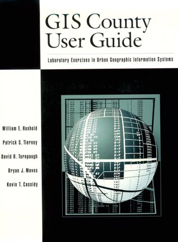
GIS County User Guide
by William E. Huxhold, etc., Patrick S. Tierney, David R. Turnpaugh, Bryan J. Maves, and Kevin T. Cassidy
Published 20 February 1997
This workbook, written to complement the PC version of ARC/INFO, the popular Geographic Information Systems (GIS) software package, is intended to give readers 'hands on' experience in exploring a wide range of GIS applications. The exercises are designed to give readers direct experience with geographic data - building their own topological databases, creating and using property and population data, and learning firsthand how GIS professionals process geographic information so that effective applications of the technology can be designed and used by local government officials. The book includes a disk of completed exercises.


