Mapstart

by Simon Catling

Published 1 March 1985


Provides a sound foundation for graphic concepts, skills and vocabulary at a very simple level.

*Introduces latitude, longitude and using atlas maps *Develops understanding of the purpose, potential and limitations of maps *Pupils gain an appreciation of local, regional and World maps.


*Develops basic skills, building on work covered in Mapstart 1 *Deals with the specific nature and characteristics of plans and maps *Introduces atlas maps of the UK, Europe and the World


OS Mapstart

by Simon Catling

Published July 1987

Mapstart 1

by Simon Catling

Published 1 March 1985
Rebranded edition of the Collins Longman Mapstart 1 atlas. This structured map skills course uses a simple colourful layout to introduce young pupils to using and drawing maps and plans. Mapstart 1 is a structured introduction to map work for 6-7 year olds. It assumes no previous experience of map skills and establishes a sound foundation for graphic concepts, skills and vocabulary at a very simple level. The main concepts introduced are; Understanding how plans are made, Looking down, Finding shapes, Size -- large and small, Distance -- near and far, Direction and routes.

Mapstart 2

by Simon Catling

Published 1 March 1985

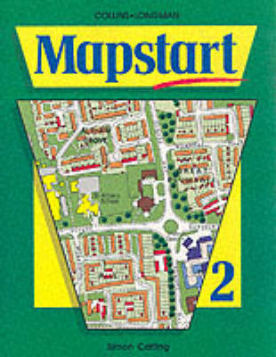
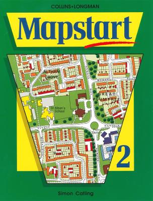
Rebranded edition of the Collins Longman Mapstart 2 atlas. This structured map skills course uses a simple colourful layout to introduce young pupils to using and drawing maps and plans.

Mapstart 2, a course for 8-9 year olds, helps develop basic skills of mapwork in Mapstart 1, by introducing the nature and characteristics of plans and maps. Atlas maps of the UK, Europe and the World are introduced for the first time.

The atlas deals with the concepts of Perspective, Symbols and keys, Varieties of maps, Direction and location, Scale and measurement.


A simple first atlas providing an introduction to basic geographical and atlas vocabulary. One easy to understand sentence per spread.

Atlas Two 1st. Edition

by Collins Longman and Simon Catling

Published 23 January 1995
This atlas contains colourful reference style maps specially designed for this level. Physical features are show in a pictorial way making them easy to understand.