Peak District

by Roly Smith

Published 31 March 2000
Produced in association with the Rambler's Association and Harvey's Maps, this new series covers some of the most popular walking areas in Britain and Ireland, combining detailed route descriptions with information on the local history and wildlife. The Peak District boasts an unrivalled network of around 1,400 miles of public rights-of-way, and over 80 square miles of open access on the northern moors. This guide allows the reader to explore the infinite variety of walking opportunities, which range from gentle riverside strolls, to tough moorland treks. /The introduction gives information about the topography, geology and history of the area, and describes the flora and fauna inhabiting it. /The main section of the book comprises 30 walks. Each walk has a key illustrating principal features, such as level of difficulty and type of terrain, a route profile indicating altitude and distances, and a fact file summarising useful information such as start and finish points, duration, safety advice and points of interest. /Illustrated with colour maps from leading authority, Harveys, each walk is then described in detail with clear, easy-to-follow instructions.
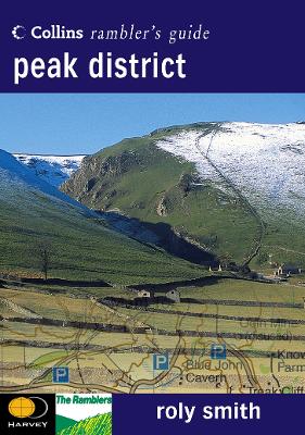
As well as route descriptions, the text gives the history of the main landmarks along the way plus information on the natural history of the area, and is accompanied by stunning colour photographs.


Wales

by Francis Frith and Roly Smith

Published 10 March 2007

Derbyshire Dales

by Francis Frith and Roly Smith

Published 31 March 2007


Francis Frith's York Minster

by Francis Frith

Published 31 December 2009

Farms and Farming

by Francis Frith

Published 31 December 2001

Villages of Sussex

by Anthony Bryan and Francis Frith

Published 25 October 2001

Sussex Coast

by Francis Frith and Martin Andrew

Published 10 October 2007


Hailsham

by Martin Andrew

Published 15 July 2004

Victorian Seaside

by Terry Sackett and Francis Frith

Published 30 August 2000