Pathfinder Guide
10 primary works • 15 total works
Book 5

Book 6
Book 8
Book 23
Book 45
This selection offers interest, regional variety and balance of routes in Norfolk providing the best walks in the area. From an easy stroll in Tyrrel's Wood to the much more challenging walk in Fordham this volume contains something...Read more
This selection offers interest, regional variety and balance of routes in Norfolk providing the best walks in the area. From an easy stroll in Tyrrel's Wood to the much more challenging walk in Fordham this volume contains something for everyone. Covering walks through the whole of Norfolk both popular and little know scenic routes including Wells-next-the-Sea, Peddars Way and Binham.
-See walk locations by Looking Inside
Inside:
-28 great walks in Norfolk from 2 to 10 miles
-Clear, large scale Ordnance Survey route maps
-GPS reference for all Norfolk waypoints
-Where to park, good pubs and places of interest en route
-All routes have been fully researched and written by expert outdoor writers
-Beautiful photography of scenes from the walks
Pathfinder (R) Guides are Britain's best loved walking guides. Made with durable covers, they are the perfect companion for countryside walks throughout Britain. Each title features circular walks with easy-to-follow route descriptions, large-scale Ordnance Survey route maps and GPS waypoints. With over 70 titles in the series, they offer essential information for walkers throughout the country.
Contents
- Horsey
- Binham Priory
- Oxborough and Gooderstone
- Hales Green from Loddon
- Marham Fen and the Nar Valley Way
- Tyrrel's Wood and Shelton
- Felbrigg Park and Metton
- Langmere and the Devil's Punchbowl
- River Bure and Upton Marshes
- How Hill and Ludham
- The Buckenhams
- Hardley Cross
- Blickling and the River Bure
- Peddars Way - Fring and Sedgeford
- Castle Acre and West Acre
- Boudica's Way - Shotesham and Saxlingham Nethergate
- Thompson Common and the Pingos
- Westwick Woods and the Weavers Way
- West Runton and Beacon Hill
- Wiveton Downs and Cley next the Sea
- The Burnhams
- Denver Sluice - a three rivers walk
- Wells-next-the-Sea, Warham and Wighton
- Weavers Way to the Berney Arms
- Reepham, Marriott's Way and Salle
- Weeting Castle and Grime's Graves
- Castle Rising and Roydon Common
- Ringstead Downs and the Norfolk Coast
Book 49
Pathfinder Vale of York & the Yorkshire Wolds
by Brian Conduit and Dennis Kelsall
Book 66
Each title features circular walks with easy-to-follow route descriptions, tried and tested by seasoned walkers and accompanied by beautiful photography and clear Ordnance Survey mapping. The routes range from extended strolls to exhilarating hikes, so there is something for everyone.
Book 70
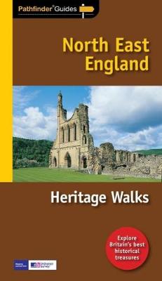
Do you have a taste for Britain's history and heritage?
Inside Pathfinder (R) Guide to Heritage Walks in North East England are 25 fantastic country walks taking in some of Northern England's top heritage sites,...Read more
Do you have a taste for Britain's history and heritage?
Inside Pathfinder (R) Guide to Heritage Walks in North East England are 25 fantastic country walks taking in some of Northern England's top heritage sites, from National Trust parkland to English Heritage properties. Perfect for walkers of all abilities and ranging from 2-13 miles in length, each circular walk takes in the many delights of the countryside of North East England, as well as its best historical landmarks.
Pathfinder (R) Guide to Heritage Walks in North East England contains history walks across the length and breadth of the region, visiting historic locations from the World Heritage Site of Hadrian's Wall to the tidal island of Lindisfarne. Visiting sites from churches, castles and historic buildings such as National Trust's Fountains Abbey to exploring the region's industrial heritage near Robin Hood's Bay or Pocklington Canal, walks are selected on the basis of historical interest by Dennis Kelsall, a professional outdoor writer and photographer who has authored a number of best-selling walking guides on the region. Each walk in Pathfinder (R) Guide to Heritage Walks in North East England is accompanied by a mini guide to each heritage site, clear, large-scale Ordnance Survey route maps and GPS waypoints to help you
navigate your hike with ease. There is also a wealth of useful information accompanying each walk, including good pubs nearby, where to park before you start your walk and places of interest en route.
If you're a countryside lover who enjoys exploring Britain's heritage, whether castle parkland or historic buildings, National Trust properties or English Heritage sites, Pathfinder (R) Guide to Heritage Walks in North East England is the book for you. There's also a section on the best natural treasures of the area including walks revealing the High and Low Force waterfalls, dramatic rock formations at Flamborough Head, St Cuthbert's Cave and the National Trust woodland gorge garden of Allen Banks.
Pathfinder (R) Guides are Britain's best loved walking guides. Made with durable covers, they are the perfect companion for countryside walks throughout Britain. Each title features circular walks with easy-to-follow route descriptions, tried and tested by seasoned walkers and accompanied by beautiful photography and clear Ordnance Survey mapping. The routes range from extended strolls to exhilarating hikes, so
there is something for everyone.
Book 72
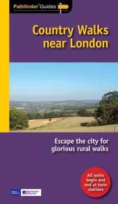
Do you enjoy a walk in the country or a leisurely afternoon stroll, but don't want to take your car?
Inside Pathfinder (R) Guide to Country Walks near London are 28 fantastic country walks all starting and finishing...Read more
Do you enjoy a walk in the country or a leisurely afternoon stroll, but don't want to take your car?
Inside Pathfinder (R) Guide to Country Walks near London are 28 fantastic country walks all starting and finishing at railway stations and within easy reach of London mainline railway terminals.
Suitable for walkers of all abilities, this selection of rural walks is hand-picked from eight current best-selling Pathfinder (R) Guides covering SE England. Ranging from 2-13 miles in length, each circular walk takes in some of the many delights of the countryside surrounding London - from meanders between small villages and riverside rambles to hillside hikes and scenic strolls. So if you don't have a car, or want to reduce your carbon footprint and have a truly environmentally friendly and 'green' walk, you can still enjoy the countryside near London with Pathfinder (R) Guide to Country Walks near London.
Completely car-free, each walk is graded for difficulty, from family rambles to challenging hikes, and has been collected together by an author who contributes regularly to national and local press on walks in London, Surrey and Essex. From the Chilterns to Essex and Surrey, each walk in Pathfinder (R) Guide to Country Walks near London is accompanied by clear, large-scale Ordnance Survey route maps and GPS waypoints to help you navigate your walk with ease. There is also a wealth of useful information accompanying each walk, including
good pubs nearby and places of interest en route. With each walk easily accessible by train, and information on routes and connections provided for each, a car is no longer essential to escape the capital city for a walk in the country.
Pathfinder (R) Guides are Britain's best loved walking guides. Made with durable covers, they are the perfect companion for countryside walks throughout Britain. Each title features circular walks with easy-to-follow route descriptions, tried and tested by seasoned walkers and accompanied by beautiful photography and clear Ordnance Survey mapping. The routes range from extended strolls to exhilarating hikes, so there is something for everyone.
Book 73
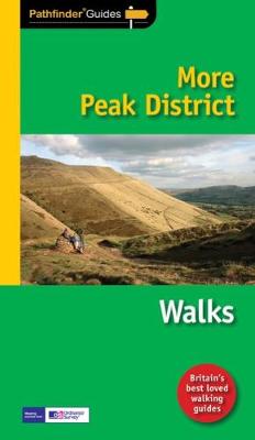
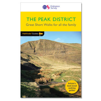
This selection offers interest, regional variety and balance of routes in the Peak District providing the best walks in the area. From an easy stroll through Stanton Moor to the much more...Read more
This selection offers interest, regional variety and balance of routes in the Peak District providing the best walks in the area. From an easy stroll through Stanton Moor to the much more challenging walks in Jacob's Ladder, this volume contains something for everyone. Covering walks through the whole of the Peak District both popular and little know scenic routes including Padley Gorge, Lathkill Dale and Derwent Edge.
-See walk locations by Looking Inside
Inside:
-28 great Peak District walks from 2 to 10 miles
-Clear, large scale Ordnance Survey route maps
-GPS reference for all Peak District waypoints
-Where to park, good pubs and places of interest en route
-All routes have been fully researched and written by expert outdoor writers
-Beautiful photography of scenes from the walks
Pathfinder (R) Guides are Britain's best loved walking guides. Made with durable covers, they are the perfect companion for countryside walks throughout Britain. Each title features circular walks with easy-to-follow route descriptions, large-scale Ordnance Survey route maps and GPS waypoints. With over 70 titles in the series, they offer essential information for walkers throughout the country.
PF28
PF63
They are the perfect companion for country walks throughout Britain. Each title features 28 circular walks with easy-to-follow route descriptions, all tried and tested by seasoned walkers. The routes range from extended strolls to exhilarating hikes, so there is something for everyone to enjoy..
PF26
PF35
With over 70 titles in the series, they offer essential information for walkers throughout the country.
PF06