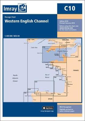
C Charts
6 primary works • 7 total works
Book 27
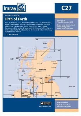
Crail (1:7500)
Anstruther (1:7500)
St Monans (1:7500)
Elie (1:10 000)
Methil Docks (1:11 000)
Pettycur & Kinghorn (1:17 500)
Inchkeith (1:25 000)
Burntisland (1:20 000)
Aberdour (1:12 500)
Inchcolm (1:15 000)
Dalgety Bay (1:15 000)
Inverkeithing (1:15 000)
North Queensferry & Port Edgar (1:20 000)
Charlestown & Limekilns (1:15 000)
Grangemouth & Entrance to River Carron (1:17 500)
Continuation to Forth & Clyde Canal Entrance (1:17 500)
Granton (1:12 500)
Fisherrow (1:12 500)
North Berwick (1:7500)
Dunbar (1:7500)
Book 31
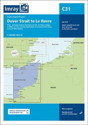
Boulogne-sur-Mer (1:25 000)
Le Treport (1:17 500)
Dieppe (1:17 500)
St-Valery-en-Caux (1:12 500)
Fecamp (1:15 000)
Approaches to Le Havre & River Seine (1:100 000)
Le Havre Yacht Harbour (1:10 000)
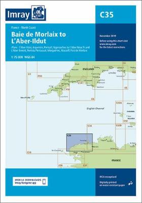
Book 35
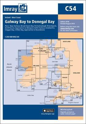
Book 54
Book 58

Barnstaple and Bideford (1:35 000)
Continuation to Barnstaple (1:35 000)
Lundy (1:30 000)
Bude Haven (1:10 000)
Port Isaac and Port Gaverne (1:15 000)
River Camel (1:30 000)
Padstow Harbour (1:5000)
Book 69
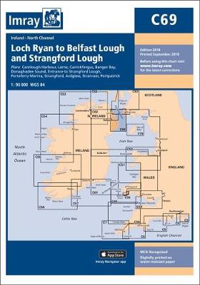
Larne (1:18 500)
Carrickfergus (1:15 000)
Bangor Bay (1:17 500)
Donaghadee Sound (1:25 000)
Entrance to Strangford Lough (1:37 500)
Portaferry Marina (1:7500)
Strangford (1:5000)
Ardglass (1:15 000)
Stranraer (1:12 500)
Portpatrick (1:6000)
C10-3