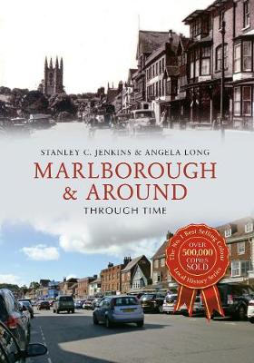
Situated in Wiltshire on the banks of the River Kennett, the picturesque market town of Marlborough is a place of considerable antiquity, with a history dating back to prehistoric times. Marlborough was once a famous coaching town, but the development of railways during the early Victorian period brought economic decline, which was mitigated, to some extent, by opening of Marlborough College in 1843. The 'Castle Mound' in the college grounds was constructed as long ago as 2400 BC, and it was once said to have been Merlin's burial place.

The countryside around Marlborough and Avebury is particularly rich in archaeological remains, and indeed it could be argued that this part of Wessex is the very heart of prehistoric Britain. There are several important prehistoric monuments within the area, including Avebury Henge, West Kennet Long Barrow and the mysterious artificial mound known as Silbury Hill.

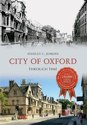
The city of Oxford has a long and prosperous history. First mentioned by name in 912 as one of the 'burghs' or fortified places that King Alfred and his descendants had constructed to protect Wessex from the Vikings, Oxford has played a significant part in many of the great historical events that have shaped the country. In the twelfth century the University of Oxford began to take shape, establishing the city as a centre of learning, which remains today. Join the author on a nostalgic trip around historic Oxford, showcasing some of the finest buildings and streets in this quintessentially English university city. Arranged geographically, starting in Carfax, the reader journeys through the streets of Oxford to the rivers Cherwell and Thames. City of Oxford Through Time is sure to reawaken nostalgic memories for many.

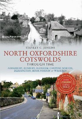
The area defined as the 'North Oxfordshire Cotswolds' extends from Wychwood Forest in the south to the Gloucestershire and Northamptonshire borders in the north. Although a typical Cotswold area, there are subtle differences between the Oolitic limestone district and the ironstone country further north - the Oolitic villages have a distinct West Country atmosphere, while the ironstone villages have a greater affinity with the South Midlands. The striking photographic comparisons within this book cover thirty different locations, including small towns or villages such as Adderbury, Deddington and Steeple Aston, as well as tourist attractions like Chastleton House, Broughton Castle, and the mysterious and evocative Rollright Stones. Stanley C. Jenkins informs and enlightens all those interested in the stunning landscapes that make up the 'North Oxfordshire Cotswolds'.

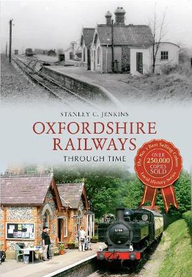
The railway came to Oxfordshire during the 1840s, the core of the present-day local railway network being completed by 1853. Other lines were subsequently constructed and, despite some branch line closures during the 1960s, these Victorian railways are still serving the public during the first decades of the twenty-first century. Their longevity is a tribute to the energy and vision of the nineteenth-century entrepreneurs who brought the railway system into existence over 160 years ago. This new study of Oxfordshire's railways examines the county's railways on a line-by-line basis, starting with the Great Western main line, which reached Oxfordshire in 1840. Sixty-eight stations have been included, the opening dates being given for each location. This interesting collection of images will appeal to railway enthusiasts, local historians and those with an interest in the history of Oxfordshire.

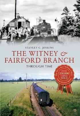
The Witney Railway was opened from Yarnton Junction to Witney in 1861. The railway was single track throughout, with intermediate stations at Eynsham and South Leigh. In 1873, the East Gloucestershire Railway opened an extension from Witney to Fairford, and the two railways formed a single branch line, with trains running from Oxford to Fairford. The line was closed to passengers in 1962, but the original Witney Railway survived as a goods-only route until 1970. The Witney & East Gloucestershire Railway was a classic rural branch line, which followed the tranquil upper Thames Valley for much of its length and served attractive Cotswold towns and villages such as Eynsham, Witney and Lechlade. This fascinating collection of photographs tells the story of the Witney line on a station-by-station basis, starting amid the bustle and activity of Oxford, and ending in a field near the historic town of Fairford.

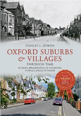
Oxford originated in the tenth century, as one of the fortified 'burghs' built during the Viking wars. The Domesday Book reveals that the first suburbs had appeared beyond the city wall by 1086. The city underwent great expansion during the Victorian period, when new suburbs appeared to house the upper middle class. However, areas around north Oxford, such as the district of high-density terraced housing known as 'Jericho', also attracted the working classes. The period of greatest expansion in south and east Oxford occurred during the twentieth century. The city boundaries changed as a number of the surrounding villages were also absorbed into the City of Oxford. Author Stanley C. Jenkins explores the many ways in which the area surrounding Oxford has developed over the years, using old and new photographs to track these exciting changes.

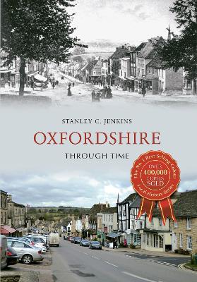
Oxfordshire, archaically known as the County of Oxford, was brought into existence during the Anglo-Saxon period, the original county being confined to the north bank of the Thames. Geographically, the county sits between the River Thames to the south, the Cotswolds to the west, the Chilterns to the east and the Midlands to the north. Oxfordshire is a county rich in history and folklore. The city of Oxford is the main population centre in the county. The University of Oxford, known as a first-class educational establishment worldwide, was first founded in the city in 1096, though its collegiate structure did not develop until later on. While Oxford has always been a reasonably large settlement, it is the county's rich agricultural land that has made it what it is today. This unique selection of images and informative captions will be essential reading for anyone who knows and loves this county.

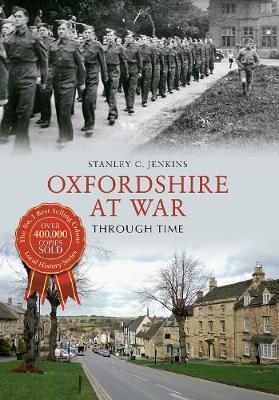
Oxfordshire has been involved with warfare throughout its history, ranging from Dark Age conflicts and the Viking Wars of the ninth and tenth centuries, to the cataclysmic conflicts of the twentieth century. With the notable exception of the first Civil War, few battles have been fought on its soil, but Oxfordshire people have participated in military activities in all parts of the world, the Oxfordshire & Buckinghamshire Light Infantry having served around the globe. Oxfordshire At War Through Time follows the story of the county and its conflicts from the Roman period until the Second World War, with particular emphasis on the Civil War, the Revolutionary and Napoleonic Wars, the First World War and the Second World War.

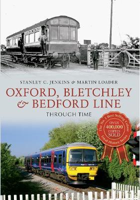
Although, in pre-Grouping days, Oxfordshire was primarily Great Western territory, the county was also served by the Buckinghamshire branch of the London & North Western Railway, which was in many ways a 'foreign' intruder. The line was completed to its western terminus at Oxford Rewley Road in 1851 and provided an alternative route to London, via Islip, Bicester and Swanbourne, as well as a cross-country link to Cambridge. The Buckinghamshire Railway incorporated a branch to Banbury that left the main line at Verney Junction - at which point the Bletchley route met the northernmost extremity of the Metropolitan Railway from Baker Street. The Oxford to Bletchley line was closed to regular passenger traffic in 1967, but the section of line from Oxford to Bicester was subsequently reopened.

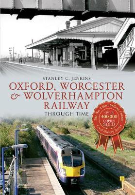
The Oxford, Worcester & Wolverhampton Railway originated during the 'Railway Mania' years of the mid-1840s, when ambitious landowners and industrialists conceived the idea of a main line link between London and the West Midlands industrial areas. With Isambard Kingdom Brunel as its engineer, the OW&WR was seen as a close ally of the Great Western Railway, but in the event, the two companies became enmeshed in a bitter quarrel. When completed throughout to Oxford in 1853, the OW&WR worked in conjunction with the rival London & North Western Railway. However, relations with the parent Great Western Railway eventually improved and the 'Cotswold Line' became an archetypal GWR route. In recent years, the railway has prospered as a long-distance commuter route, with trains running through from Paddington to Hereford via Oxford, Worcester and Great Malvern.

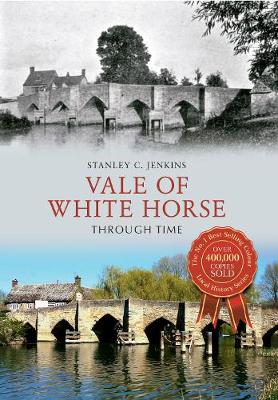
Oxfordshire was brought into existence during the Anglo-Saxon period, the original county being confined to the north bank of the Thames. However, local government reorganisation in 1974 meant that the Vale of White Horse district was transferred from Berkshire to Oxfordshire, and the county boundary was thereby extended southwards into the vale and downland area on the south side of the Thames. The area which we have defined as the Vale of White Horse includes the present-day Vale of White Horse District Council area, together with a handful of locations on the north side of the river. Around thirty different locations have been included, some of these being small towns or villages such as Wantage and Faringdon, while others are rural villages such as Clifton Hampden, Uffington and Blewbury.

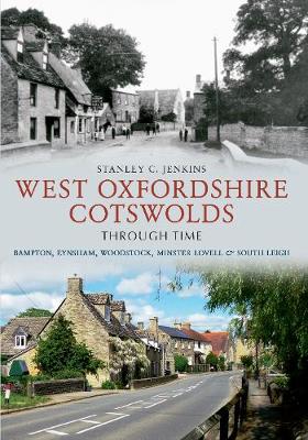
'West Oxfordshire' extends from the River Thames in the south to the Warwickshire border in the north, and from the Gloucestershire border in the west to the Cherwell valley in the east. It contains idyllic countryside, together with many small, but attractive Cotswold-style towns and villages. From 1530 towns and villages such as Bampton, Eynsham and Woodstock were extensively rebuilt in Cotswold stone. The most important towns are Witney, Chipping Norton and Burford, but the smaller towns and villages, notably Bampton, Eynsham, Charlbury, Woodstock, South Leigh and Minster Lovell are also included here. Over thirty different locations have been included, some of the villages having interesting or unexpected histories, while others have been selected because of their picturesque appeal.

When opened in 1847, the Berks & Hants Railway extended from Reading to Hungerford, a distance of 2512 miles. The route was extended to Devizes in 1862, while at the end of the nineteenth century, the Great Western Railway decided to incorporate the Berks & Hants line into a new main line link between Reading, Newbury, Hungerford, Westbury and Taunton, which would provide part of an improved route from Paddington to the West of England. Most of the stations have been rebuilt over the years, but there are several early survivors, including Pewsey, Frome and Castle Cary, which date back to the mid- Victorian period. This unique selection of old and new images and informative captions is essential reading for anybody who lives close to this railway and knows it in any way.

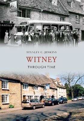
Witney Through Time

by Stanley C. Jenkins

Published 15 May 2012
Witney grew up as the result of deliberate planning on the part of successive Bishops of Winchester, a spacious, wedge-shaped market area being laid out parallel to the river Windrush. The whole area was surrounded by a drainage ditch known as Emma's Dyke. By the end of the Middle Ages it had grown into a populous market town with a developing blanket industry, and 1800 there were five textile mills in and around the town. In 1951 Smiths Industries established a large factory on Witney Aerodrome, so the local economy was no longer dependent upon the woollen industry. But the town remained famous as a centre of the blanket manufacturing industry until the closure of the last mill in 2002. This fully illustrated narrative brings the fascinating history of Witney to life and will be enjoyed by all those keen to know this Cotswold town a little better.