2000
5 primary works • 47 total works
Book 2000
2. Westerschelde - Oostgat Approaches (1:45 000) includes plan Cadzand-Bad (1:10 000)
3. Entrance to the Westerschelde (1:35 000)
4. Westerschelde - Breskens to Terneuzen (1:35 000) Includes plan of Breskens (1:15 000)
5. Westerschelde - Terneuzen to Hoek van Ossenisse (1:35 000) Includes plan of Terneuzen (1:20 000)
6. Westerschelde - Hoek van Ossenisse to Bath (1:35 000) Includes plan of Walsoorden (1:10 000)
7. Approaches to Antwerpen (1:30 000) Includes Continuation of Schelde-Rijnverbinding to Zoommeer (1:30 000)
8. Antwerpen (1:30 000)
9. Kanaal Gent-Terneuzen (1:30 000)
10. Kanaal door Walcheren - Vlissingen to Kleverskerke (1:20 000)
11. Veerse Meer West (1:20 000) Includes plans of Oostwatering (1:15 000), Veere (1:10 000), Oranjeplaat (1:15 000) and De Omloop (1:10 000)
12. Veerse Meer East (1:20 000) Includes plans of Kortgene & Wolphaartsdijk (1:10 000) andZandkreeksluis (1:10 000)
13. Kanaal door Zuid-Beveland (1:17 500)
14. Entrance to the Oosterschelde (1:45 000) Includes plan of Roompotsluis (1:30 000)
15. Oosterschelde - Roompotsluis to Zeelandbrug (1:35 000) Includes plans of Roompot Marina (1:15 000), Colijnsplaat (1:15 000), Zierikzee (1:15 000) and Burghsluis (1:15 000)
16. Oosterschelde - Zeelandbrug to Yerseke (1:35 000) Includes plans of Goessche Sas (1:10 000) and Stavenisse (1:15 000)
17. Oosterschelde - Yerseke to Bergsediepsluis (1:35 000) Includes plan of Yerseke (1:12 500)
18. Oosterschelde - Keeten to Krammer & Krabbenkreek (1:35 000) Includes plans of Bruinisse (1:15 000) and Sint Annaland (1:15 000)
19. Zoommeer (1:15 000) Includes Continuation of Schelde-Rijnverbinding to Volkerak (1:45 000)
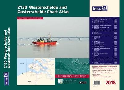
Book 2120
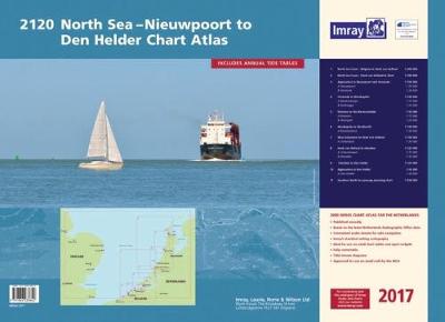
Entrance to the Westerschelde (1:50 000) includes plans Breskens (1:15 000) and Vlissingen (1:20 000)6. Westkapelle to Westhoofd (1:100 000) includes plan Roompotsluis (1:30 000)7. West Schouwen to Hoek van Holland (1:100 000) includes plan Stellendam (1:30 000)8. Hoek van Holland to IJmuiden (1:125 000) includes plans Scheveningen (1:15 000) and IJmuiden (1:35 000)9. IJmuiden to Den Helder (1:125 000)10. Approaches to Den Helder (1:50 000) includes plan Den Helder (1:20 000)11. Southern North Sea passage planning chart (1:500 000)Commended for the John C Bartholemew Award for Thematic Mapping at the 2016 British Cartographic Society Awards.
Book 2150
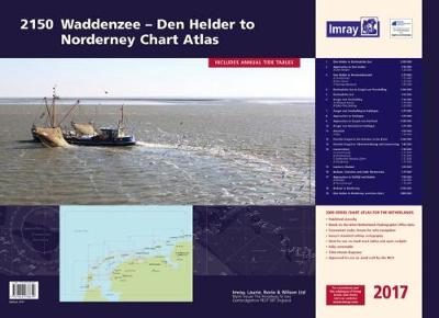
Lauwersmeer (1:30 000) includes plans Lauwersoog (1:12 500), Oostmahorn (1:12 500), Dokkumer Nieuwe Zijlen (1:12 500), Zoutkamp (1:12 500)15. Lauwers Channel (1:50 000)16. Borkum, Osterems and Oude Westereems (1:75 000)17. Approaches to Delfzijl and Emden (1:50 000) includes plans Delfzijl (1:20 000) and Termunterzijl (1:10 000)18. Borkum to Norderney (1:100 000)19. Den Helder to Norderney overview chart (1:400 000)Highly Commended for The Stanfords Award for Printed Mapping at the 2016 British Cartographic Society Awards.
Book 2200.10
Book 2200.5
Book 2200.6
Book 2200.7
Book 2200.8
Book 2200.9
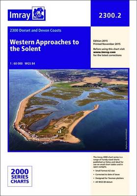
Book 2300.2
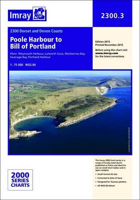
Book 2300.3
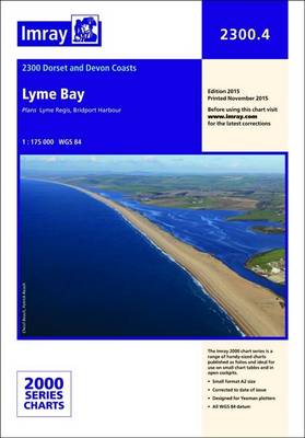
Book 2300.4
Book 2300.5
Book 2300.5
Book 2300.6
Book 2300.8
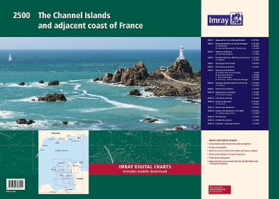
Book 2500
Book 3220