Book 1


Book 2


Book 3


Book 4


Book 5

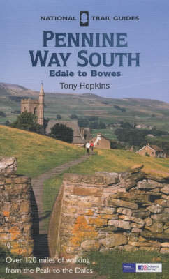
Pennine Way South

by Tony Hopkins

Published July 1990
The southern section of the 256-mile Pennine Way starts at Edale in the heart of the Peak District and runs northwards along the hills, which form the backbone of England, through the beautiful Yorkshire Dales National Park to Bowes on the south-eastern borders of the Lake District. This book provides a full and detailed description of the route accompanied by 1: 25,000 Ordnance Survey maps marked with points of interest along the route. There is information on geology, land use, wildlife and features of historical or archaeological interest as well as a "Useful Information" section giving details of public transport and other facilities along the route. National Trail Guides are published in association with the Countryside Agency, the body responsible for setting up and maintaining these long-distance walking routes in England.

Book 5


Book 6

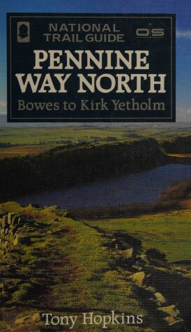
The Pennine Way is the 256-mile (412-km) National Trail stretching along the backbone of Britain. This volume features the northern section of the Way, following the Countryside Agency's acorn waymarks from Bowes across the rugged Durham moors, past Hadrian's Wall to Kirk Yetholm, a distance of 129 miles (207 km). This is the complete, official guide for the long distance walker or the weekend stroller. All you need is this one book. "National Trail Guides" are the official guidebooks to the fifteen National Trails in England and Wales and are published in association with Natural England, the official body charged with developing and maintaining the Trails. This is the official companion to the northern section of the Pennine Way National Trail. Full-colour Ordnance Survey maps for each section shown alongside text. It includes detailed and up-to-date information on facilities and public transport.

Book 6


Book 8


Book 10


Book 11


Book 12


Book 13


Book 14


Book 15


Book 16