Best Hikes Near
7 total works
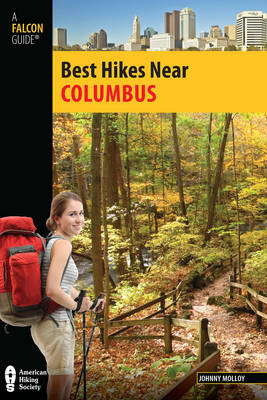
Who says you have to travel far from home to go on a great hike? In Best Hikes Near Columbus author Johnny Molloy details the best hikes within an hour's drive of the Columbus area perfect for the urban and suburbanite hard-pressed to find great outdoor activities close to home. Each featured hike includes detailed hike specs, a brief hike description, trailhead location, directional cues, and a detailed map.
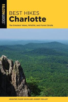
Who says you have to travel far from home to go on a great hike? In Best Hikes Charlotte veteran hikers Jennifer Pharr Davis and Johnny Molloy offer the absolute best hikes in the greater Charlotte area. Each featured trail is perfect for the urban and suburbanite hard-pressed to find outdoor activities close to home. This guide leads you up mountains, over creeks, and through forests to the best outdoor adventures around Charlotte:
*Discover the gorgeous views at Crowders Mountain where Kings Pinnacle rises high above the Charlotte skyline.
*Explore the family-friendly Jetton Park Trail with its beaches, picnic areas, and scenic trails.
*Experience America's past at the Kings Mountain National Military Park and the Reed Gold Mine State Historic Site.
Every chapter includes up-to-date hike specs, a brief hike description, directional cues, and a detailed map.
It's not necessary to travel far from home for a great hike. With these information-packed guides in hand, readers have everything they need for the adventure they seek, from an easy nature walk to a multiday backpacking trip. Each hike includes: location, length, hiking time, level of difficulty, and if dogs can come along. Other features include: Trail finder chart that categorizes each hike (e.g., for particular attractions such as waterfalls and if it's suitable for families with kids)Full-color photos throughoutInformation on the area's history, geology, flora, and faunaFull-color maps of each trail
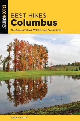
Who says you have to travel far from home to go on a great hike? In Best Hikes Columbus veteran hiker Johnny Molloy offers the absolute best hikes in the greater Columbus area. Each featured trail is perfect for the urban and suburbanite hard-pressed to find outdoor activities close to home. This guide leads you up hills, over creeks, and through forests to the best outdoor adventures around Columbus:
*Discover incredible vistas and spectacular rock formations at Conkles Hollow
*Explore an aboriginal village site at Battelle Darby Creek Park.
*Experience Ohio's natural beauty at the Blackhand Gorge State Nature Preserve.
Every chapter includes up-to-date hike specs, a brief hike description, directional cues, and a detailed map.
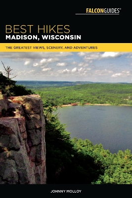
Fully updated and revised, here are forty-three of the best hikes, nearly all within an hour's drive of Madison, Wisconsin-from the Capital City State Trail to Devil's Lake State Park. The hikes offer skyline views, a range of landscapes, and wildlife viewing opportunities. Whether you're in the mood for an easy nature walk or a day-long hike, this guide offers plenty to choose from:
* Picnic Point
* Pheasant Branch Conservancy
* Gibraltar Rock
* Blue Mound State Park
* Pope Farm Park
* Meadow Valley and Cave Trails
Each hike features full-color photos; a brief route description; thorough directions to the trailhead (GPS coordinates included); a detailed, full-color trail map; and at-a-glance information on distance and difficulty level, hiking time, canine compatibility, and fees and permits. Inside you'll also find a Trail Finder that categorizes each hike (e.g., for attractions such as views, and if it's suitable for families with kids); and information about local lore, points of interest, and the area's wildlife.
