Recreational Path Guides
7 total works
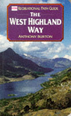
Published in association with the Ordnance Survey, this Recrational Path Guide provides walkers with information and advice about the West Highland Way, a footpath running for over 90 miles from the outskirts of Glasgow to Fort William in the shadow of Ben Nevis. It includes maps for each section shown alongside the text, and tips on transportation, accomodations, and more.
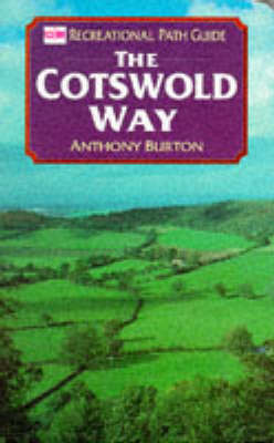
Published in association with the Ordnance Survey as part of the RECREATIONAL PATH GUIDES series, a walker's manual with information and advice about the Cotswold Way's 100 mile route and the places, such as Chipping Campden, Winchcombe and the Severn Valley, that it passes through before finishing in Bath.
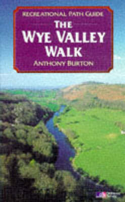
The Wye Valley Walk, which follows the river for 111 miles from Rhayader to its junction with the Severn at Chepstow, is one of the finest long-distance walks in th e country. The route is rich in sites of historical and lite rary interest '
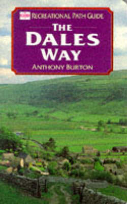
Published in association with the Ordnance Survey as part of the Recreational Path Guides series, this book providing the walker with information and advice about the Dales Way's 100 mile route from Leeds to Windermere via the Yorkshire Dales National Park.
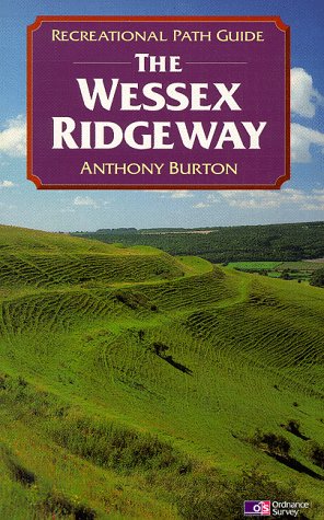
This comprehensive guide covers the entire route of the Wessex Ridgeway from Marlborough in Wiltshire to the Dorset coast. It includes points of interest along the way, archaeological sites and places with literary associations with background details'
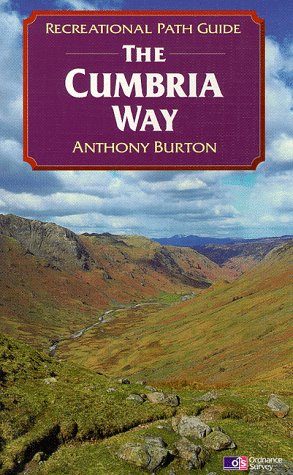
The 72 miles of the Cumbria Way lie within the boundaries of the Lake District National Park and the route takes walkers through some of the finest scenery on England. This guide covers the entire route and is packed with useful information'
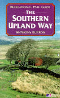
This Recreational Path Guide to the Southern Upland Way which crosses Scotland from coast to coast. Features include Ordnance Survey maps for each section of the route, information and advice on public transport, details of Tourist Information offices, and a list of walkers organizations.
