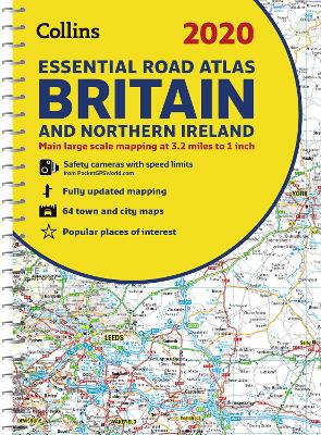
2020 Collins Essential Road Atlas Britain and Northern Ireland (Collins Road Atlas)
This A4 road atlas with popular lie-flat spiral binding features clear, detailed road mapping, at a scale of 3.2 miles to 1 inch (1:200,000) for England, Wales and Southern Scotland and at 4.2 miles to 1 inch (1:266,000) in Northern Scotland, and including Northern Ireland with land height shown by attractive layer colouring. * Route planning section including maps at a scale of 22 miles to 1 inch for long distance route planning, motorway services information and a handy distance calc...
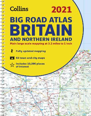
The ultimate 3.2 miles to 1 inch scale large format paperback road atlas of Britain, featuring Collins' popular and well established road mapping, and designed for exceptional clarity and ease of use. The atlas has a wide range of urban area maps at even larger scale and 64 detailed town centre street plans. This fully updated road atlas covers the whole of Britain with each scale of mapping colour-coded for ease of use. The smallest scale maps are great for long distance rou...
1 Curso Como Ser Un Buen Creador de Contenido
by Flemingstreet and Kel Ce Kel
As a child growing up in Malaysia, Shing Yin Khor had two very different ideas of what "America" meant. The first looked a lot like Hollywood, full of beautiful people and sunlight and freeways. The second looked more like The Grapes of Wrath - a nightmare landscape filled with impoverished people, broken-down cars, barren landscapes, and broken dreams. Those contrasting ideas have stuck with Shing ever since, even now that she lives and works in LA. The American Dream? A Journey on Route 66 is...
Neuseeland - Gruppenreise mit dem Kiwi-Experience Bus
by Jan Deichmohle
GLOBE-TROTTEUR - Méridien, le cheval voyageur
by Claire Wilby
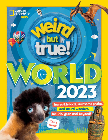
The US kid-favorite series Weird But True! is busting out with a BIG, BOLD extravaganza of the wackiest, wildest, and downright weirdest wonders on planet Earth. Discover Earth's strangest animals, natural formations, festivals, ancient wonders, news, and more.
2020 Collins Handy Road Atlas Britain and Ireland (Collins Road Atlas)
This easy-to-use, handy A5 sized road atlas with popular lie-flat spiral binding features extremely clear route planning maps of Britain and Ireland and fits neatly into your glove box, briefcase or bag. The atlas has been fully updated for 2020. The maps of Britain are at 9.9 miles to 1 inch (1:625,000) and the whole of Ireland is covered at 15.8 miles to 1 inch (1:1,000,000). There are also a selection of more detailed urban area maps at 4.5 miles to 1 inch (1:285,000) to aid route p...
Stocking Stuffers for Adults and Kids
by Christmas Stocking Stuffers for Ad Test
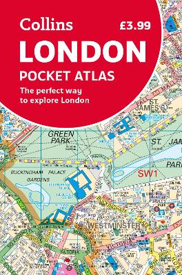
The must-have map to exploring London. This fully updated atlas features clear Collins street mapping of Central London and the surrounding area. Coverage is from Chiswick in the west to Barking in the east, and Hampstead in the north to Dulwich in the south. Scale is 1:20,000 (3.17 inches to 1 mile). Coverage of Central London is at 1:12,500 (5.1 inches to 1 mile). This neat, handy little pocket-sized atlas is an ideal purchase for resident and visitor alike. It ha...
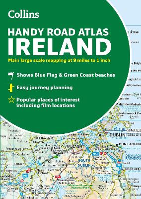
Explore Ireland with this accurate and fully updated road atlas. Explore Ireland with this handy format route-planning atlas in full colour, complete with information on places of tourist interest. There are also fully indexed town centre plans of Belfast, Cork, Dublin, Galway, Limerick and Londonderry. Now with places of interest marked including famous film locations. This atlas, at A5 size, contains mapping of the whole of Ireland at 9 miles to 1 inch (1:570,240). The mapp...
