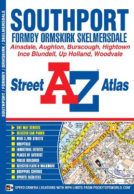
This A-Z map of Southport is a full colour street atlas featuring 24 pages of mapping to include:*Crossens*High Park*Birkdale*Ainsdale*Woodvale*Formby*Hightown*Ince Blundell*Burscough*Ormskirk*Aughton*Skelmersdale*Up Holland*Orrell (part) Postcode districts, one-way streets and safety camera locations with their maximum speed limit are featured on the mapping. The index section lists streets, selected flats, walkways and places of interest, place, area and station names, hosp...
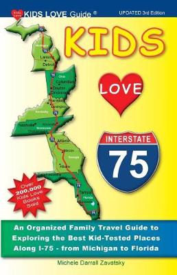
Kids Love I-75, 3rd Edition (Kids Love Travel Guides)
by Michele Darrall Zavatsky
The renaissance of "Route 66" is one of America's great comeback stories. And with over 100,000 copies sold of the original and revised editions, the "Route 66 Traveler's Guide" has brought the exciting and nostalgic experience of driving Route 66 to roadfans young and old. Now, more than 20 years after the original publication of "Route 66", this completely updated and expanded guide will make the trip along the Mother Road easier and even more exciting. Responding to requests from readers and...
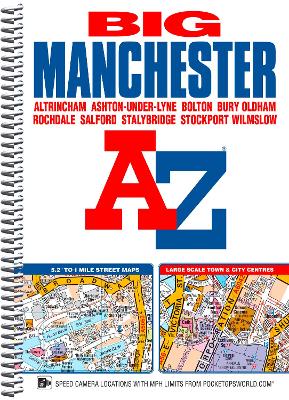
This spiral bound Big map of Manchester includes coverage of:*Manchester*Altrincham*Ashton-under-Lyne*Bolton*Bury*Oldham*Rochdale*Salford*Stockport The atlas includes 162 pages of continuous street mapping at a 'Big' 5.2 inches to 1 mile (8.2 cm to 1 km) extending to include coverage of:*Cheadle*Heywood*Hyde*Irlam*Manchester Airport*Poynton*Prestwich*Radcliffe*Ramsbottom*Stalybridge*Swinton*Urmston*Wilmslow There are also large scale city and town centre maps of Manchester, A...
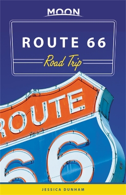
Moon Route 66 Road Trip (Third Edition) (Travel Guide)
by Jessica Dunham
Moon Route 66 Road Trip reveals the ins and outs of this iconic highway, from sweeping prairies and retro roadside pit-stops to the stunning vistas of the Southwest. Inside you'll find:* Maps and Driving Tools: 38 easy-to-use maps detail the existing roads that comprise the original Route 66, along with site-to-site mileage, driving times, detailed directions for the entire route, and full-color photos throughout* Eat, Sleep, Stop and Explore: With lists of the best hikes, bites, roadside curios...
Discover vibrant cities like Seattle, Vancouver, and Portland and the lush emerald wilderness in between. Moon Pacific Northwest Road Tripcan do everything but change the radio station. Inside you'll find:* Maps and Driving Tools: 31 easy-to-use maps keep you oriented on and off the highway, along with site-to-site mileage, driving times, and detailed directions for the entire route* Eat, Sleep, Stop and Explore: Climb Mount Rainier or relax in Seattle with a freshly brewed cup of coffee or a l...
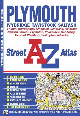
This A-Z map of Plymouth is a full coloured street atlas featuring 35 pages of street mapping which extends to include:*Roborough*Plymouth City Airport*Plympton*Ivybridge*Yealmpton*Newton Ferrers*Wembury*Plymstock*Millbrook*Torpoint*Saltash. In addition, there is separate coverage of Tavistock, Horrabridge and Yelverton and a large scale city centre map of Plymouth. Postcode districts, one-way streets and safety camera locations with their maximum speed limit are also feature...
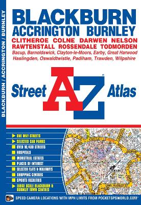
This atlas of Blackburn, Burnley and Accrington contains 50 pages of coloured street mapping. The continuous coverage around Blackburn, Burnley and Accrington extends to include: Barrowford, Colne, Trawden, Nelson, Whalley, Higham, Brierfield, Harle Syke, Langho, Wilpshire, Great Harwood, Clayton-le-Moors, Padiham, Rose Grove, Worsthorne, Mellor, Rishton, Oswaldtwistle, Pleasington, Baxenden, Goodshaw, Darwen, Rossendale, Rawtenshaw and Bacup.Also included are large scale town centre m...
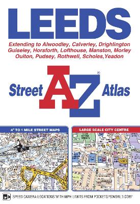
This A-Z map of Leeds includes coverage of Guiseley, Yeadon, Rothwell, Morley and Pudsey. There are 56 pages of continuous street mapping extending to:*Alwoodley*Birkenshaw*Calverley*Holme Village*Outwood (part)*Rawdon*Scholes*Shadwell*Swillington*West Ardsley*Woodlesford Also included is a large scale city centre map of Leeds. Postcode districts, one-way streets and safety camera locations with maximum speeds are featured on the mapping. The index section lists str...
An illustrated glovebox essential, Road Sides explores the fundamentals of a well-fed road trip through the American South, from A to Z. There are detours and destinations, accompanied by detailed histories and more than one hundred original illustrations that document how we get where we’re going and what to eat and do along the way. Learn the backstory of food-shaped buildings, including the folks behind Hills of Snow, a giant snow cone stand in Smithfield, North Carolina, that resembles the...
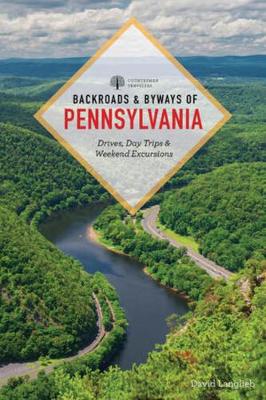
Backroads & Byways of Pennsylvania (Backroads & Byways, #0)
by David Langlieb
In this updated edition of Backroads & Byways of Pennsylvania, David Langlieb takes readers down country roads, through lush farmland vistas, and into bustling cities and small towns. Pennsylvania's rich history, cultural narratives, and natural beauty make for great themed driving tours. Trace the state's Civil War stories, peek into the world of the Amish, or simply absorb the breathtaking views of the Pocono Mountains. And discover unique sites along the way: * Explore the shores of Lake Erie...
This street atlas of Dartford, Gravesend, Bexleyheath, Erith, Northfleet, Sidcup and Swanley features 30 pages of coloured mapping that extends to: Thamesmead East, Crayford, Stone, Greenhithe, Swanscombe, Tilbury (part), Shorne, Singlewell, Meopham Station, New Ash Green, West Kingsdown (part), Farningham, Crockenhill, Hextable, Ruxley, Blackfen and Welling. Postcode districts, one-way streets and safety camera locations with their maximum speed limit are featured on the map...
This A-Z map of Colchester, Clacton-on-Sea, Harwich and Sudbury contains 39 pages of coloured street mapping. Colchester coverage includes:*Great Horkesley*Manningtree*Elmstead Market*Marks Tey*Copford*Layer-de-la-Haye*Wivenhoe*Alresford A large scale town centre map of Colchester is also included. Clacton-on-Sea coverage includes:*Walton-on-the-Naze*Frinton-on-Sea*Jaywick There is also separate coverage of the following:*Brightlingsea*Halstead*Harwich*Sud...
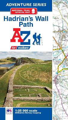
The A-Z Adventure Series of maps combines the best of OS and A-Z, creating the perfect companion for walkers, off-road cyclists, horse riders and anyone wishing to explore the great outdoors. Hadrian's Wall Path is a National Trail which follows the line of Hadrian's Wall from coast-to-coast. The 84 mile (135km) path weaves through beautiful countryside, encountering historic remains of Roman forts and milecastles, splendid bridges, views from the Whin Sill escarpment and Solway salt m...
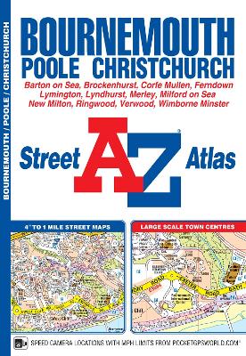
This A-Z map of Bournemouth is a full colour street atlas featuring 63 pages of continuous street mapping to include:•Poole•Christchurch•Blashford•Ringwood•Wimborne Minster•Ferndown•Bournemouth Airport•Barton on Sea•Milford on Sea•Lymington In addition, there are seperate coverages of Verwood, Lyndhurst and Brockenhurst, an inset of Three Legged Cross and large scale town centre maps of Bournemouth and Poole. Postcode districts, one-way streets, safety camera locations with t...
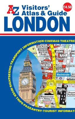
This A-Z Visitors' map of London is a full colour, pocket sized Atlas and Guide to Central London showing the main streets and places of interest. In addition to 39 pages of maps, this handy atlas also features 55 pages of interesting and useful tourist information for central and outer London. The street mapping includes:*An area extending to: London Zoo to the north, Tower Bridge to the east, Tate Britain to the south and Kensington Palace to the west*Places of interest and buildings...
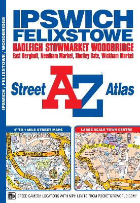
This A-Z map of Ipswich and Felixstowe includes 62 pages of street mapping covering:•Belstead BentleyBramfordBramthamCapel St. MaryChelmondistonClaydon East Bergholt Great BlakenhamGrundisburgh Hadleigh HolbrookMartlesham Needham Market Port of FelixstoweRushmere St. Andrew Shotley Gate Sproughton Stowmarket Stratford St. MaryStuttonTrimley St. MaryTrimley S...
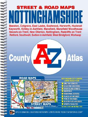
This county atlas of Nottinghamshire has 138 pages of street mapping that features all major towns and villages. Also included are 6 pages of road mapping covering the whole county and a large scale city centre map of Nottingham. There is continuous street mapping of the Nottingham, Mansfield, Mansfield Woodhouse, Hucknall, Eastwood, Stapleford and West Bridgford area that extends to include:*Market Warsop, New Ollerton, Sutton in Ashfield, Rainworth, Kirkby-in-Ashfield, Ravenshead, Se...
Southern England Regional Road Atlas (A-Z Regional Road Atlas, #4)
by Geographers' A-Z Map Company
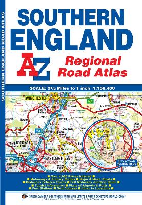
This A-Z map of Southern England is a full colour regional road atlas featuring 39 pages of continuous road mapping that covers an area extending to:*Cardiff*Newport*Bristol*Swindon*Reading*Slough*Guildford*Littlehampton*Portsmouth*Isle of Wight*Bournemouth*Weymouth*Sidmouth*Taunton*Weston-Super-Mare This Southern England Road Atlas is shown at a clear 2.5 miles to 1 inch scale (1.58 km to 1 cm) and includes the following features:*Motorways open with full junction detail, motorways un...

