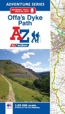
The A-Z Adventure Series of maps combines the best of OS and A-Z, creating the perfect companion for walkers, off-road cyclists, horse riders and anyone wishing to explore the great outdoors. Offa's Dyke Path is a National Trail skirting the English/Welsh border. The 177 mile (285km) path is named after, and often follows, the spectacular 8th century Offa's Dyke. The trail links Sedbury Cliffs near Chepstow with the coastal town of Prestatyn, crossing the border over 20 times along the...
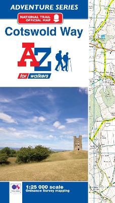
The A-Z Adventure Series of maps combines the best of OS and A-Z, creating the perfect companion for walkers, off-road cyclists, horse riders and anyone wishing to explore the great outdoors. The Cotswold Way is a National Trail running along the Cotswold Edge escarpment of the Cotswold Hills. This 102 mile (164km) path begins in the historic City of Bath and finishes in Chipping Campden. Passing through numerous places of interest, the route on the map is clearly highlighted in yellow...
Aquitanien - das Ende eines Krieges (Am Rande Des Weges ..., #1)
by Annemarie Nikolaus
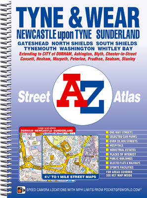
This A-Z map of Tyne and Wear is a full colour, spiral bound street atlas featuring 180 pages of continuous street mapping covering:*Newcastle-upon-Tyne, Sunderland, Durham, Gateshead, North Shields, South Shields and Tynemouth. *The east coast from Newbiggin-by-the-Sea in the north to Peterlee in the south including Blyth, Whitley Bay and Seaham.*Inland coverage of Morpeth, Ashington, Cramlington, Washington, Chester-le-Street, Consett, Hexham and Newcastle Airport. Also inc...
Social Tourism at the Crossroads
Social tourism is at a pivotal point. Over the past decade, there has been increased interest and research into social tourism issues, and as a result there is now much greater evidence on the important role that social tourism can play in providing significant benefits for the people supported through social tourism schemes. However, despite these advances and awareness of the benefits of tourism participation in most countries, there is still much confusion and ambiguity about the definition,...
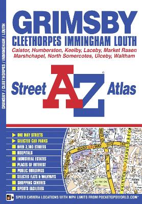
This A-Z map of Grimsby, Cleethorpes, Immingham and Louth is a full colour street atlas featuring 38 pages of street mapping to include:*Ulceby*Humberside International Airport*Healing*Laceby*Scartho*Humberston*Waltham*Tetney*Marshchapel*North Somercotes*Caistor*Market Rasen In addition, there are inset maps of Keelby, Grimsby docks and North Thoresby. Postcode districts, one-way streets and safety camera locations with their maximum speed are also featured on the mapping....
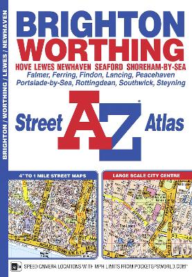
This atlas of Brighton, Worthing, Hove, Newhaven and Shoreham-by-Sea includes separate coverage of Lewes and Seaford. The 41 pages of coloured street mapping features coverage of: Findon, Durrington, Goring-by-Sea, Lancing, Southwick, Patcham, Falmer, Woodingdean, Saltdean, Rottingdean and Peacehaven with separate coverage of Steyning, Bramber and Upper Beeding.Also included is a large scale street map of Brighton city centre. Postcode districts, one-way streets and safety ca...
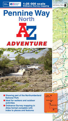
The A-Z Adventure series features the accuracy and quality of the OS 1:25000 mapping in a convenient book, complete with index. The A-Z Adventure series is an innovative concept that utilises Ordnance Survey Explorer mapping in a book, therefore eliminating the need to fold and re-fold a large sheet map to the desired area. OS 1:25000 is Ordnance Survey's most detailed mapping, showing public rights of way, open access land, national parks, tourist information, car parks, public houses...
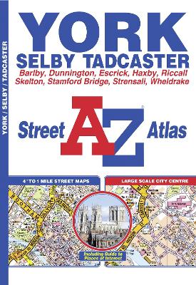
This A-Z map of York is a full colour street atlas and for the first time, features a places of interest guide. This publication has 50 pages of continuous street mapping which extends to cover:*Strensall*Skelton*Haxby*Stamford Bridge (inset)*Dunnington*Wheldrake*Escrick*Copmanthorpe*Rufforth In addition, there is seperate coverage of Tadcaster, Riccall, Barlby and Selby and a large scale map of York city centre. Postcode districts, one-way streets and Park and Ride sites are...
Catch a wave, hike to the Hollywood sign, or soak up some desert sun: the possibilities are endless with Moon Southern California Road Trips. Inside you'll find:*Pick Your Road Trip: Find flexible getaways throughout SoCal like three-day routes up the coast, through Death Valley, Ojai, and more, or combine them for an epic two-week driving tour*Eat, Sleep, Stop and Explore: With lists of the best beaches, hikes, wineries, and more, you can tour backlots in Los Angeles, feel like a kid again at D...
This A-Z map of Newcastle upon Tyne includes coverage of Sunderland, Durham, Gateshead, South Shields, Tynemouth and Washington. There are 154 pages of continuous street mapping extending to:*Bedlington*Blaydon*Blyth*Chester-le-Street (part)*Darras Hall*Ryton*Seaham*Stanley*Whitley Bay In addition, there is separate coverage of Peterlee, Easington and Horden and large scale city centre maps of Newcastle upon Tyne, Sunderland and Durham. Postcode districts, one-way streets and...
Dark Peak Adventure Atlas (A-Z Adventure Atlas)
by Geographers' A-Z Map Company
The A-Z Adventure series features the accuracy and quality of OS Explorer mapping in a convenient book, complete with index. The A-Z Adventure series is an innovative concept that utilises Ordnance Survey Explorer mapping in a book, therefore eliminating the need to fold and re-fold a large sheet map to the desired area. OS Explorer is Ordnance Survey's most detailed mapping at a scale of 1:25 000, showing public rights of way, open access land, national parks, tourist Information, car...
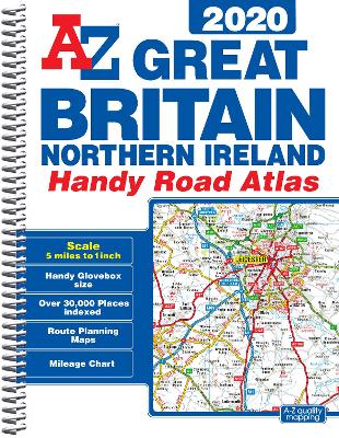
This A-Z map of Great Britain and Northern Ireland is a full colour, spiral bound, compact (approximately A5) handy road atlas.*Fully updated for 2020 *170 pages of clear detailed road mapping at a mainland map scale of 5 miles to 1 inch*Mileage chart*Channel Tunnel terminus maps*Index to cities, towns, villages, hamlets and major destinations*Map reference information also in French and German*Lies flat when open*Easily stored in a glove box or door pocket Instantly recogniz...
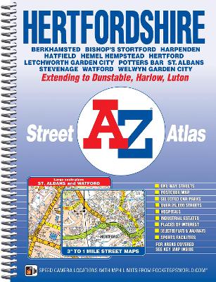
This A-Z map of Hertfordshire is a full colour, spiral bound street atlas featuring 162 pages of continuous street mapping giving complete countywide coverage in one volume. Also included are:*Large scale city/town centre maps of St. Albans and Watford*A postcode map of the Hertfordshire area*Two pages of road mapping covering the whole of Hertfordshire Postcode districts, one-way streets, safety camera locations with their maximum speed limit, park and ride sites and the Lon...
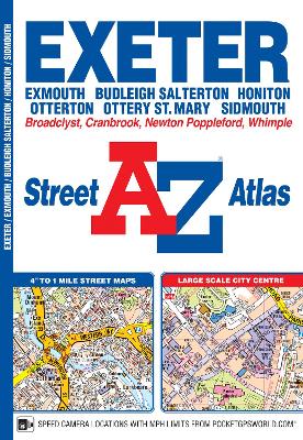
Edition: Edition 5 2010 Scale: 4 inches to 1 mile (6.3cm to 1km) Rational Scale: 1:15840 Size: 149 x 215 mm (5.9 x 8.5 inches)
