![Cover of A Treatise on Theoretical and Practical Land Surveying [microform]](https://images.bookhype.com/covers/9b/00/94d3c483-313e-4375-a47d-ccebef9000b9/9781013661105-d26b9fde747feb0dd0ec57.jpg)
A Treatise on Theoretical and Practical Land Surveying [microform]
by Alexander 1813-1896 Monro

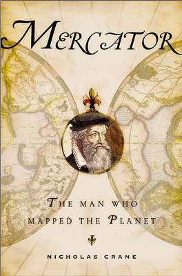
Explores the life of Gerhard Mercator, who created the map and solved the dimensional riddle that plagued cosmographers for years, revealing a man who attended one of Europe's top universities but was persecuted by the Inquisition.

Horizontalaufnahmen Und Ebene Rechnungen (Sammlung Goeschen, #4469)
by Walter Gromann
Maps International - Scratch Off English Heritage Sites - Historic Properties & Gardens Print
by Maps International
GIS and Cartographic Modeling is a foundational work in the field of geographic information systems (GIS). An introduction to the concepts, conventions, and capabilities of map algebra as a general language, this book describes the analytical use of raster-based GIS. By focusing on the fundamentals of cartographic modeling techniques, C. Dana Tomlin illustrates concepts that can be applied to any GIS. This publication of GIS and Cartographic Modeling contains updated graphics and a new preface.
Christopher Saxton and Early Tudor Map-making (Brtish Library S., No 2)
by Sarah Tyacke and John Huddy
Weighing the World is a revealing behind-the-scenes look at the scientific events leading to modern map making, written by one of the world's master surveyors. Edwin Danson, using a similar approach to his earlier best seller, "Drawing the Line: How Mason and Dixon Surveyed the Most Important Border in America" (Wiley, 2000) takes us on a journey telling the story of this experiment that has not been written about in over two hundred years. National jealousies, commercial and political rivalry w...
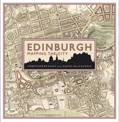
Maps can tell much about the story of a place that traditional histories fail to communicate. This is particularly true of Edinburgh, one of the most visually stunning cities in the world and a place rich in historical and cultural associations. This lavishly illustrated book features 71 maps of Edinburgh which have been selected for the particular stories they reveal about the political, commercial and social life of Scotland and her capital. Many are reproduced in book form for the first time....
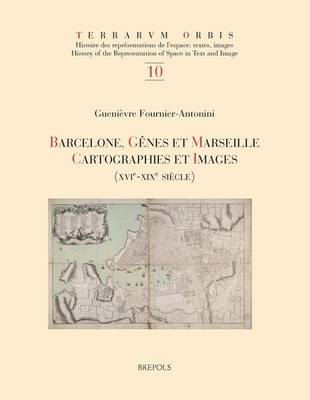
Barcelone, Genes Et Marseille (Terrarum Orbis, #10)
by Guenievre Fournier-Antonini
British Cartographic Society 35th Annual Symposium and Map Curators' Group Workshop
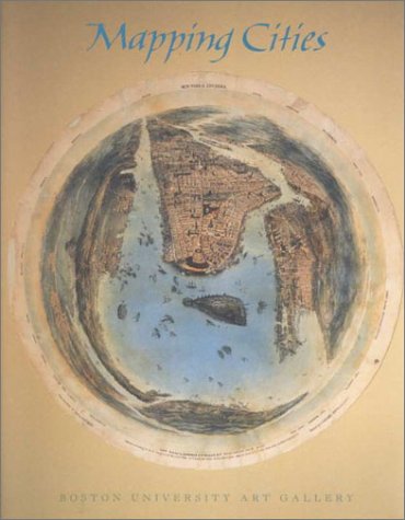
Mapping Cities charts both the development of urban planning in seven cities -- Jerusalem, Rome, Paris, Amsterdam, London, Boston, and New York -- and changes in mapmaking since the 15th century.Despite the ubiquity of city maps, urban cartography is a relatively recent discipline, quite distinct from the field of urban history. This book emphasizes the city map as a bearer of information and a graphic means of communication. It illustrates several little-known maps, including a never before pub...
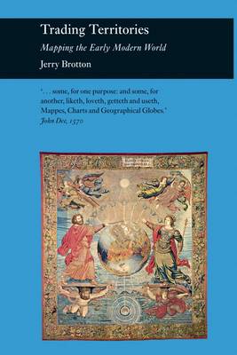
Offering an account of the status of maps and geographical knowledge in the Early Modern world, this work focuses on how early European geographers mapped the territories of the Old World (Africa and South-East Asia). It contends that the historical preoccupation with Columbus's "discovery" of the New World in 1492 has tended to obscure the importance of the mapping of territories which have been defined as "eastern". The author places the rise of Early Modern mapping within the context of the s...
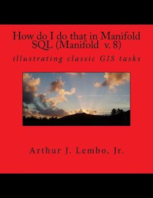
How do I do that in Spatial SQL (Manifold 8) (How Do I Do That in GIS, #1)
by Arthur J Lembo Jr
Understanding GIS (Understanding Gis, #4)
by Christian Harder, Tim Ormsby, and Thomas Balstrom
Understanding GIS: An ArcGIS Project Workbook explains the methods and tools needed to apply GIS analysis to a spatial problem by finding the best location for a new park along the Los Angeles River in Southern California. Through this process, readers develop critical-thinking and problem-solving skills and learn to use ArcGIS (R) 10.1 for Desktop software from Esri (R). Understanding GIS: An ArcGIS Project Workbook includes valuable learning materials:Self-paced tutorials. The project is car...
Maps and the Internet (International Cartographic Association)
by Cartographic Association International Cartographic Association
This book examines a new trend affecting cartography and geographic information science. Presenting the work of over 30 authors from 16 different countries, the book provides an overview of current research in the new area of Internet Cartography. Chapters deal with the growth of this form of map distribution, uses in education, privacy issues, and technical aspects from the point of view of the map provider - including Internet protocols such as XML and SVG. Many see the Internet as a revolu...