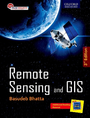
Beginning with the history and basic concepts of remote sensing and GIS, the book gives an exhaustive coverage of optical, thermal, and microwave remote sensing, global navigation satellite systems (such as GPS and IRNSS), digital photogrammetry, visual image analysis, digital image processing, spatial and attribute data model, geospatial analysis, and planning, implementation, and management of GIS. It also presents the modern trends of remote sensing and GIS with an illustrated discussion on i...
Advances in GIS Research
This two-volume set comprises the proceedings of the Sixth International Symposium on Spatial Data Handling, held in Edinburgh in 1994 under the auspices of the International Geographical Union Commission on GIS and the Association for Geographic Information. It contains over 70 papers - each of which has been reviewed by at least three internationally acknowledged experts - which together can be considered representative of the core of world-wide scientific achievement from researchers working...
Study on Ground Moving Target Indication and Imaging Technique of Airborne SAR (Springer Theses)
by Jian Yang
Based on a detailed analysis of the signal model of the moving target, this thesis focuses on the theories and applications of ground moving target indicator (GMTI) and ground moving target imaging (GMTIm) algorithms in synthetic aperture radar/ ground moving target indicator (SAR/GMTI mode), wide-area surveillance ground moving target indication (WAS-GMTI) mode and frequency modulated continuous wave synthetic aperture radar (FMCW SAR) systems. The proposed algorithms can not only indicate and...
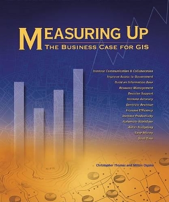
Measuring Up: The Business Case for GIS offers case studies about companies and government agencies that have implemented GIS solutions to meet business goals and how their successes with this technology measure up in: Saving money and time; Increasing efficiency, accuracy, productivity, communication and collaboration; Generating revenue; Supporting decision making; Aiding budget development; Building information bases; Managing resources; Measuring Up presents 75 articles from 22 business sect...
Marine Navigation and Safety of Sea Transportation
The TransNav 2013 Symposium held at the Gdynia Maritime University, Poland in June 2013 has brought together a wide range of participants from all over the world. The program has offered a variety of contributions, allowing to look at many aspects of the navigational safety from various different points of view. Topics presente
Design Of Mission Operations Systems For Scientific Remote Sensing
by S D Wall and K W Ledbetter
A definitive description of the various models of mission operations systems MOS which provides an account of the design process and of the general principles of the designs themselves. The principles described can be applied to all types of scientific remote sensing.
This volume contains papers from three sets of tutorials covering mathematics, the physical aspects of scattering, and engineering modelling and processing of the phenomena under consideration. In addition, a technical report by Calvin Wilcox on synthesis problems for radar ambiguity functions is published here for the first time.
No matter how advanced the technology, there is always the human factor involved - the power behind the technology. Interpreting Remote Sensing Imagery: Human Factors draws together leading psychologists, remote sensing scientists, and government and industry scientists to consider the factors involved in expertise and perceptual skill. This book covers the cognitive issues of learning, perception, and expertise, the applied issues of display design, interface design, software design, and mental...
Virtual Geographic Environments , edited by Hui Lin and Michael Batty, collects key papers that define the current momentum in GIS and ""virtual geographies."" Contributions by leading members of the geospatial community to Virtual Geographic Environments illustrate the cutting edge of GIScience, as well as new applications of GIS with the processing and delivery of geographic information through the Web and handheld devices, forming two major directions to these developments. The four-part orga...
GIS and Cartographic Modeling is a foundational work in the field of geographic information systems (GIS). An introduction to the concepts, conventions, and capabilities of map algebra as a general language, this book describes the analytical use of raster-based GIS. By focusing on the fundamentals of cartographic modeling techniques, C. Dana Tomlin illustrates concepts that can be applied to any GIS. This publication of GIS and Cartographic Modeling contains updated graphics and a new preface.
GIS and Public Policy '94
This practical and pragmatic survey of topics in the field, discusses sensors, with an emphasis on civilian spaceborne image data sources; processing and analysis techniques, providing algorithms and methods for converting bits into pictures; and applications, ranging from mineral exploration to seagoing operations. An appendix provides a list of pixel values for a window of a Landsat MSS image.
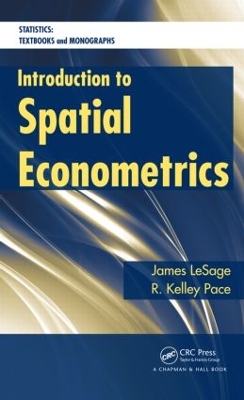
Introduction to Spatial Econometrics (Statistics: A Series of Textbooks and Monographs)
by James Le Sage and Robert Kelley Pace
Although interest in spatial regression models has surged in recent years, a comprehensive, up-to-date text on these approaches does not exist. Filling this void, Introduction to Spatial Econometrics presents a variety of regression methods used to analyze spatial data samples that violate the traditional assumption of independence between observations. It explores a wide range of alternative topics, including maximum likelihood and Bayesian estimation, various types of spatial regression specif...
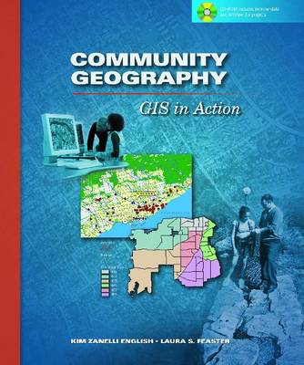
Community Geography (GIS in Action S.)
by Kim English and Laura S. Feaster
"Community Geography" is designed to inspire students and citizens to make a difference in their communities using GIS technology. The book includes seven case studies that describe innovative community projects in endeavors such as working with a local police department to map crime, analyzing landfill hazards, tracking river water quality, and taking inventory of area trees. Step-by-step exercises, guidelines, and practical tips for taking on similar projects in readers' own communities are in...
This book provides key insights into the world of Deep Learning pertaining to satellite image understanding. It highlights what differentiates satellite image datasets from other natural or synthetic images and how to tackle problems specific to these imagery data. From answering questions like how to select optimal training data to weekly supervised and unsupervised learning and how to tackle loosely labeled data, it is a valuable source of information for anyone interested in understanding the...
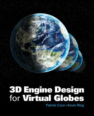
Supported with code examples and the authors' real-world experience, this book offers the first guide to engine design and rendering algorithms for virtual globe applications like Google Earth and NASA World Wind. The content is also useful for general graphics and games, especially planet and massive-world engines. With pragmatic advice throughout, it is essential reading for practitioners, researchers, and hobbyists in these areas, and can be used as a text for a special topics course in comp...
Microwave Radiometry and Remote Sensing Applications
This book contains papers by well renowned scientists from all over world --- including Eastern Europe --- which were presented during a specialist meeting on microwave radiometry and its applications to remote sensing of the atmosphere and the surface of the earth held in Florence, Italy, in March 1988. The book is divided into five sections, some of which contain review papers which summarize the most recent advances in the field. The sections are: -- Microwave radiometry of the earth's surf...
