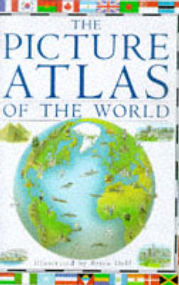
This picture atlas covers every continent and country in the world and includes the independent states in Yugoslavia and the former USSR. Three-dimensional maps show mountains, rivers, volcanoes, geysers and glaciers, and buildings, places of interest, people, animals, crops and plants, food and national sports. Each map is supported by boxed features giving facts about the countries, accompanied by colour photographs highlighting some aspect of the scenery or wildlife. The national flags of every country in the world are included, as well as special illustrated features on capital cities and national wonders such as the Taj Mahal and the Great Rift Valley.
- ISBN10 0751353582
- ISBN13 9780751353587
- Publish Date 4 April 1996 (first published 30 July 1992)
- Publish Status Out of Print
- Out of Print 12 March 1998
- Publish Country GB
- Publisher Dorling Kindersley Ltd
- Imprint Dorling Kindersley Publishers Ltd
- Format Hardcover
- Pages 64
- Language English