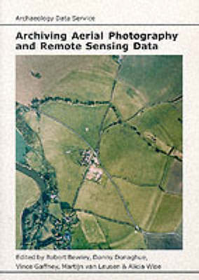
This guide aims to set out the principles of 'good practice' in the creation and maintenance of digital resources related to aerial photography (including both optical and infra-red images), satellite and airborne remote sensing and the archaeological interpretations made form such data. The suggestions offered here aim to ensure that these digital resources can be re-used, and consequently archiving advice is included. Available on-line and in print, the core of this guide consists of detailed suggestions on what to record in order to describe a digital data set adequately, how to deposit a data set with the ADS and where to look for most of the technical literature and other information resources. Appendices provide details of commercial data providers and standards commonly used in archaeology. This volume is sponsored by the Archaeology Data Service, a UK based organisation undertaking the archive storage of digital data on every conceivable archaeological topic. The ADS is preparing a series of guides explaining how to record information so that it can be archived and re-used by others.
- ISBN10 1900188708
- ISBN13 9781900188708
- Publish Date 31 December 1999
- Publish Status Out of Print
- Out of Print 3 March 2021
- Publish Country GB
- Imprint Oxbow Books
- Format Paperback
- Pages 45
- Language English
