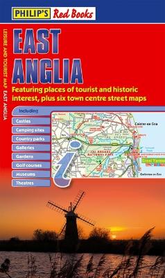
This leisure and tourist map of East Anglia gives detailed coverage of the area's road network at a scale of approximately 3.5 miles to 1 inch. There is an index to place names (with counties) on the reverse of the map.The map shows places of tourist and historic interest, including castles, camping sites, country parks, galleries, gardens, golf courses, marinas, museums, nature trails, historic sites, sports venues, theatres, theme parks, wildlife parks and zoos. An index to principal places of interest is featured on the reverse of the map.Indexed town-centre street maps for Cambridge, Colchester, Great Yarmouth, Ipswich, King's Lynn and Norwich are also included.In a convenient folded format, this double-sided sheet map is ideally suited for both leisure and business use, whether by locals or visitors.
- ISBN10 1849070091
- ISBN13 9781849070096
- Publish Date 17 April 2009 (first published 24 April 2008)
- Publish Status Out of Print
- Out of Print 5 March 2014
- Publish Country GB
- Publisher Octopus Publishing Group
- Imprint Philip's
- Format Hardcover
- Pages 2
- Language English