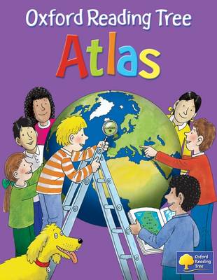
Have you ever wondered...BL What the Earth looks like from space? BL How many continents there are? BL Where Mount Everest is? Find out with Biff, Chip, Kipper and Floppy in your very first atlas! The Oxford Reading Tree Atlas is a stimulating first atlas for young children with all the favourite characters from Oxford Reading Tree. It introduces young learners to maps and develops early atlas skills, encouraging them to talk about local and distant places and to find key places on maps. It includes: BL An introduction to the globe and places around the world BL Stunning images of the Earth from space BL Clear and colourful maps of the world BL Maps of all the continents plus the British Isles BL Fascinating facts about places and people Based on the popular Oxford Infant Atlas, this new atlas uses colourful artwork-style maps, photographs and satellite images to create an exciting first atlas for all 3-6 year olds. Also available: Activity Book, Teacher's Handbook, and Interactive CD-ROM.
- ISBN10 0198387547
- ISBN13 9780198387541
- Publish Date 16 April 2009
- Publish Status Unknown
- Out of Print 17 September 2012
- Publish Country GB
- Imprint Oxford University Press
- Format Hardcover
- Pages 32
- Language English