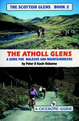
A guidebook to walking and mountainbiking east of Drumochter in the Atholl Glens, Scotland, UK - the glens from Tilt to Cairnwell and between Aberfeldy and Dunkeld, using paths and tracks. The aim in this series of books is to provide the mountainbiker and walker with information on a variety of routes so they know what to expect on the ground. OS maps give no indication as to whether an 'other road' is metalled, a path or a forest fire break, or anything in between. Many bridges shown do not exist. Rivers are difficult to judge in size from the map, and a building may be anything from a pile of stones to a maintained bothy. All is revealed here without removing the sense of adventure and exploration. Gradient profiles help to assess how strenuous a route is, and each hand-drawn page contains a wealth of information. The object is to save wasted leisure time and enable the armchair explorer to plan ahead or relive experiences.
- ISBN13 9781852841218
- Publish Date 1 November 1999
- Publish Status Out of Print
- Out of Print 14 February 2014
- Publish Country GB
- Imprint Cicerone Press
- Format Paperback
- Pages 144
- Language English
