The A-Z Adventure series features the accuracy and quality of the 25k OS Explorer mapping in a convenient book, complete with index.
The A-Z Adventure series is an innovative concept that utilises Ordnance Survey Explorer mapping in a book, therefore eliminating the need to fold and re-fold a large sheet map to the desired area. OS Explorer is Ordnance Survey's most detailed mapping at a scale of 1:25 000, showing public rights of way, open access land, national parks, tourist information, car parks, public houses and camping and caravan sites.
Unlike the original OS sheets, this A-Z Adventure Atlas includes a comprehensive index to towns, villages, hamlets and locations, natural features, nature reserves, car parks and youth hostels, making it quick and easy to use. Each index entry has a page reference and a six figure National Grid Reference. At a book size of 240mm x 134mm it is the same size as a standard OS Explorer map when closed.
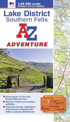
This A-Z Adventure Atlas of the Lake District Southern Fells features 60 pages of continuous Ordnance Survey mapping covering:
*Lake District National Park (part)
*Helvellyn
*Great Gable
*Sca Fell
*Grasmere
*Ambleside
*ConistonThis A-Z Adventure Atlas has the accuracy and quality of OS Explorer mapping indexed within a book, making it the perfect companion for walkers, off-road cyclists, horse riders and anyone wishing to explore the great outdoors.
Also available: A-Z Adventure Atlas of the Lake District Northern Fells.
- ISBN13 9781843488521
- Publish Date 26 August 2015
- Publish Status Active
- Out of Print 15 October 2021
- Publish Country GB
- Publisher HarperCollins Publishers
- Imprint Geographers' A-Z Map Co Ltd
- Edition 2nd Revised edition
- Format Paperback
- Pages 72
- Language English
- URL http://collins.co.uk