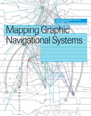
Revised Edition! Maps and charts are needed by both businesses and society in order to make complicated information and data comprehensible. The art of mapping has therefore become one of the core graphic design practices. However, very little literature exists on this subject and the few books available fail to
address all the issues involved. Mapping Graphic Navigational Systems offers a comprehensive study of all areas of cartography from nautical charts to subway systems, from websites to calendars. This guide reveals the visual language of location, direction, spatial and structural relationships which are central to the information design discipline. Featuring in-depth essays as well as inspiring visuals and case studies, this book will be welcomed by professional information designers and design students everywhere. This revised edition offers a timely update to the subject, and features brand-new material.
- ISBN13 9782888930365
- Publish Date 1 September 2008 (first published 28 January 2005)
- Publish Status Transferred
- Out of Print 17 August 2012
- Publish Country CH
- Imprint Rotovision
- Format Paperback
- Pages 208
- Language English
