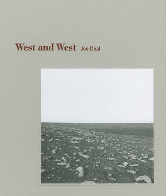
The Kansas-Nebraska Act of 1854 officially opened the Great Plains to westward settlement, and the public survey of 1855 by Charles A. Manners and Joseph Ledlie along the Sixth Principal Meridian established the grid by which the uncharted expanse of the Great Plains was brought into scale. Photographer Joe Deal believes that the mechanical act performed by land surveyors is powerfully similar to the artistic act of making a photograph. To Deal, both acts are about establishing a frame around a vast scene that suggests no definite boundaries of its own. Thus, when approaching his own photographs of the Great Plains, Deal viewed his photography as a form of reenactment, a method of understanding how it felt to contain the Great Plains in smaller, more measurable units. In "West and West", Deal, who was born and raised in Kansas, revisits the Kansas-Nebraska territory and applies his photographic understanding of the landscape grid and horizon line to illuminating the sense of infinite space that transcends the reality of the survey. The stunning photographs in "West and West" present the Great Plains from a rare perspective.
From this vantage point, Deal is able to distill and contemplate its expanse.
- ISBN10 193519500X
- ISBN13 9781935195009
- Publish Date 1 November 2009
- Publish Status Out of Print
- Out of Print 15 May 2017
- Publish Country US
- Imprint Center for American Places,US
- Format Hardcover
- Pages 112
- Language English
