Menu
Bookhype
My Books
Explore
Search books
New releases
Special editions
Recommendations
Activity
Genres
Fantasy
Historical
Mystery
Romance
Science Fiction
Thriller
Young Adult
Login
Register
Login
Register
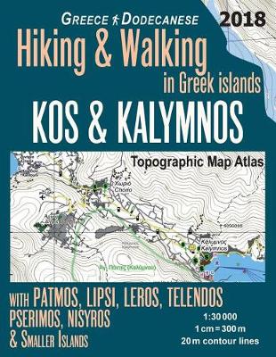
Kos & Kalymnos Topographic Map Atlas 1:
30000 Greece Dodecanese Hiking & Walking in Greek Islands with Patmos, Lipsi, Leros, Telendos, Pserimos, Nisyros & Smaller Islands: Trails, Hikes & Walks Topographic Map
(Hopping Greek Islands Travel Guide Maps)
by
Sergio Mazitto
0 ratings • 0 reviews • 0 shelved
Shelve It
Buy the book
Amazon
Amazon UK
Barnes & Noble
Blackwell's
Bookshop
Bookshop UK
Waterstones
Bookhype may earn a small commission from qualifying purchases.
Full disclosure
.
Kos & Kalymnos Topographic Map Atlas 1:
30000 Greece Dodecanese Hiking & Walking in Greek Islands with Patmos, Lipsi, Leros, Telendos, Pserimos, Nisyros & Smaller Islands: Trails, Hikes & Walks Topographic Map
(Hopping Greek Islands Travel Guide Maps)
by
Sergio Mazitto
0 ratings • 0 reviews • 0 shelved
This Edition
Other Editions
ISBN10
1720549214
ISBN13
9781720549215
Publish Date
31 May 2018
Publish Status
Active
Imprint
Createspace Independent Publishing Platform
Format
Paperback (US Trade)
Pages
44
Language
English