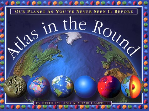
This atlas shows the planet in the round. Colour photographs depict the globe flattened, drained, sliced and cored to better show all its natural manifestations, from tidal waves to earthquakes to volcanic eruptions. Different countries are shown in modelled relief, and complex earth-science theories are explained in easily understood text supported by drawings and art work. The three-dimensional globe maps were generated by the team that created the "Mountain High" maps.
- ISBN10 0762406577
- ISBN13 9780762406579
- Publish Date 23 August 1999
- Publish Status Unknown
- Publish Country US
- Imprint Running Press Book Publishers
- Format Hardcover
- Pages 32
- Language English
