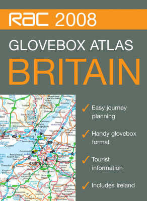
The handy A5 format of this spiral bound atlas makes it the ideal travelling companion. It has clear, route planning maps and fits neatly into the glovebox, pocket or bag. It is a superb back up for SatNav users and those travelling by public transport. Britain mapping is at 9.9 miles to 1 inch and urban area maps of London, Birmingham, Manchester and Merseyside are at 4.5 miles to 1 inch. Key features include: distance charts for Britain and Ireland, physical relief shading, and places of interest marked. This is the ideal tool for journey planning for all drivers of cars, vans and lorries as well as those travelling by public transport who want to track their journey.
- ISBN10 0007796978
- ISBN13 9780007796977
- Publish Date 6 July 2007
- Publish Status Unknown
- Publish Country GB
- Publisher HarperCollins Publishers
- Imprint Collins
- Format Paperback
- Pages 80
- Language English