Praise for the previous editions: ...an ideal addition to middle and high school libraries...will be used frequently.--American Reference Books AnnualThe clear and concise layout of the maps and illustrations makes this a unique and unparalleled resource for school and public libraries.--Christian Library Journal...definitely a worthy purchase for all libraries.--Reference Book ReviewThe Trusted Resource Since 1981!Packed with approximately 500 up-to-date, reproducible maps ideal for research reports, presentations, and testing, the 2010 Edition of this critically acclaimed volume continues to provide users with the most current world cartographic information. All maps featured throughout this edition have a consistent look and style...Read more
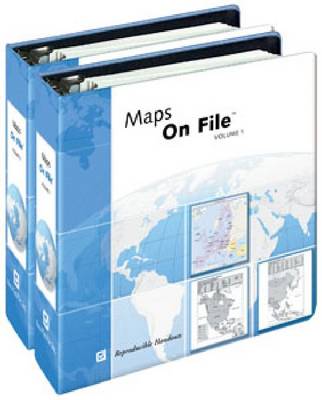
Praise for the previous editions: ...an ideal addition to middle and high school libraries...will be used frequently.--American Reference Books AnnualThe clear and concise layout of the maps and illustrations makes this a unique and unparalleled resource for school and public libraries.--Christian Library Journal...definitely a worthy purchase for all libraries.--Reference Book ReviewThe Trusted Resource Since 1981!Packed with approximately 500 up-to-date, reproducible maps ideal for research reports, presentations, and testing, the 2010 Edition of this critically acclaimed volume continues to provide users with the most current world cartographic information. All maps featured throughout this edition have a consistent look and style and present the most current data available. Each country map includes major cities, borders labeled with the names of neighboring nations, major rivers and roads, a scale of miles and kilometers, and more. Highlights:
- ISBN13 9780816078714
- Publish Date 30 January 2010
- Publish Status Out of Print
- Out of Print 24 April 2021
- Publish Country US
- Imprint Facts On File Inc
- Format Paperback
- Language English
