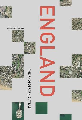
`ENGLAND: The Photographic Atlas' again pairs the stunning aerial photography of Getmapping.com, creators of the Millennium Map, with Collins' renowned road atlas in a single 800-page volume that covers the whole country in exquisite and unprecedented detail.
If you live anywhere in England, you will already feel right at home within this book. However well you think you know the country, though, close inspection of its pages will reward you with some amazing insights into the fabric of the landscape: you will spot patterns and textures (both natural and man-made) that are all but invisible from the ground, discover surprising features shared between entirely unconnected areas, and explore new corners of the country for the very first time.
The photographic atlas is easy to use. The photography and the cartography share the same standard grid system, meaning you can cross-reference quickly between the two elements; and both photography and cartography are 'map accurate', as the photography has been geo-corrected, a process that removes the distortions in the original aerial photography.
ENGLAND: THE PHOTOGRAPHIC ATLAS is from the same series as LONDON: THE PHOTOGRAPHIC ATLAS, already published to great acclaim in 2000. Both titles draw on the Millennium Map, a contemporary Domesday Book destined to be a social record of the utmost historical importance.
- ISBN13 9780007122776
- Publish Date 5 November 2001
- Publish Status Out of Print
- Out of Print 4 November 2005
- Publish Country GB
- Publisher HarperCollins Publishers
- Imprint HarperCollins Illustrated
- Format Hardcover
- Pages 800
- Language English
- URL http://harpercollins.co.uk
