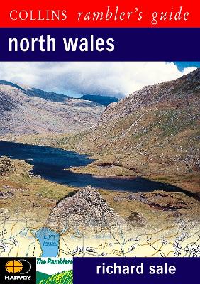
Produced in association with the Rambler's Association and Harvey's Maps, this brand new series covers some of the most popular walking areas in Britain and Ireland, combining detailed route descriptions with information on the local history and wildlife. The second largest National Park in the British Isles, Snowdonia offers a variety of challenging walks, from the high peaks to lowland valleys and gorges. The guide also includes some walks outside the Park. /The introduction gives information about the topography, geology and history of the area, and describes the flora and fauna inhabiting it. /The main section of the book comprises 30 walks. Each walk has a key illustrating principal features, such as level of difficulty and type of terrain, a route profile indicating altitude and distances, as well as a fact file summarising useful information, such as start and finish points, duration, safety advice and points of interest. /Illustrated with colour maps from leading authority, Harveys, each walk is then described in detail with clear, easy-to-follow instructions.
As well as route descriptions, the text gives the history of the main landmarks along the way plus information on the natural history of the area, and is accompanied by stunning colour photographs.
- ISBN10 0002201135
- ISBN13 9780002201131
- Publish Date 3 July 2000
- Publish Status Out of Print
- Out of Print 18 January 2010
- Publish Country GB
- Publisher HarperCollins Publishers
- Imprint Collins
- Format Paperback (UK Trade)
- Pages 192
- Language English
- URL http://harpercollins.co.uk
