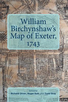
This major re-examination of the history of map-making in Exeter, the historic county town of Devon, follows from the recent discovery of a 'new' Georgian town map of the city. That map, by William Birchynshaw (a man not known tohave produced any other), is reproduced in facsimile, along with nearly two dozen other maps from 1587 through to 1949. They are prefaced by an introduction which places the new discovery within the context of four centuries of map-making, demonstrating how Birchynshaw owed a debt both to John Hooker's map of 1587 and to that by Ichabod Fairlove of 1709; and provides an overview of Exeter in 1743, showing that, although was city was basking in economic prosperity due to its cloth trade, it was also still largely confined within its ancient walls. The volume as a whole represents a significant reassessment of Exeter's history.
RICHARD OLIVER is a historian and has been a Research Fellow in the History of Cartography at the University of Exeter since 1989.
ROGER KAIN CBE is a Fellow of the British Academy and its Vice-President (Research and Higher Education Policy). He is Professor of Humanities in the School of Advanced Study, University of London and was previously its Dean and Chief Executive, 2010-17.
TODD GRAY MBE is an Honorary Research Fellow at the University of Exeter and the author of more thana dozen books on Exeter.
- ISBN10 0901853976
- ISBN13 9780901853974
- Publish Date 20 December 2019
- Publish Status Active
- Publish Country GB
- Imprint Devon & Cornwall Record Society
- Format Hardcover
- Pages 74
- Language English