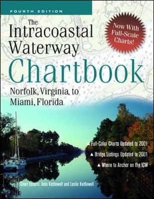
This is the fourth edition. 'All the charts you need for the 1,000-mile 'Ditch' cruise for a fraction of the price' - "Cruising World". 'An outstanding example of economical, complete, no-nonsense chart compilation' - "Practical Sailor". 'An excellent compendium' - "The Capital". (Annapolis, MD) The "Intracoastal Waterway Chartbook" is a complete set of navigation charts for the 1,090-mile Intracoastal Waterway from Norfolk to Miami, as well as charts for all major Atlantic inlets. (You'd spend over $350 to purchase the same coverage in government charts and publications.) The chartbook also includes a complete listing of waterway bridge and lock characteristics, anchorage listings, a waterway facilities listing, mileage charts, and even charts for a picturesque alternate route, all in a compact, easy-to-use format. Statute miles are noted in five-mile increments in the chart margins, along with bridge, lock, and anchorage locations. A handy place-name index makes it even easier to go right to the chart showing your destination.
An ideal companion to "The Intracoastal Waterway Chartbook" is "The Intracoastal Waterway, Norfolk to Miami: A Cockpit Cruising Handbook, Fourth edition", by Jan Moeller and Bill Moeller.
- ISBN13 9780071387996
- Publish Date 16 March 2002 (first published 23 May 1991)
- Publish Status Out of Print
- Out of Print 11 March 2008
- Publish Country GB
- Publisher McGraw-Hill Education - Europe
- Imprint McGraw-Hill Publishing Co.
- Edition 4th edition
- Format Paperback
- Pages 288
- Language English
