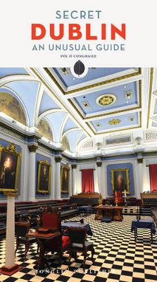
Discover the inner sanctum of Freemason's Hall, see Napoleon's toothbrush, marvel at a hoax plaque hidden in plain sight on O Connell Bridge, try George IV's footprints for size, venture into a Georgian time capsule on Henrietta Street, cross the bridge beneath which William Rowan Hamilton had his Eureka moment, explore a museum flat preserved exactly as it was almost 100 years ago, tune into the world of vintage radio in a Martello Tower, spot Dublin's subterranean river, or post your thoughts...
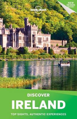
Discover Ireland (Lonely Planet Discover Ireland) (Travel Guide)
by Neil Wilson, Fionn Davenport, Damian Harper, Catherine Le Nevez, and Ryan Ver Berkmoes
Lonely Planet: The world's leading travel guide publisher Lonely Planet's Discover Ireland is your passport to the most relevant, up-to-date advice on what to see and skip, and what hidden discoveries await you. Wander from village to village along Connemara's coast, discover music-filled pubs in Galway, and sample the best pint of Guinness you've ever had in Dublin-all with your trusted travel companion. Get to the heart of Ireland and begin your journey now! Inside Lonely Planet's Discover Ire...
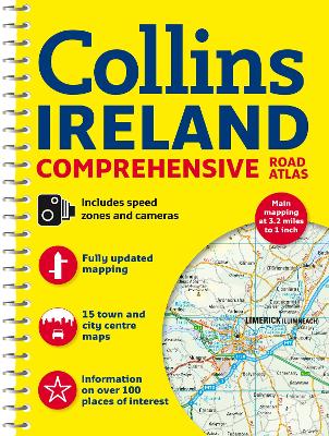
Clear, detailed road mapping of Ireland presented as an A4 format road atlas featuring attractive layer colouring to show land height. Speed enforcement zones are also shown on the mapping.Along with the road mapping there is also a wide range of detailed town and city centre plans, all of which are fully indexed. MAIN FEATURESDetailed, general purpose road map of Ireland in a handy A4 format. Ideal for both business and pleasure use. The atlas contains a range of mapping scales:* 9 mi...
Scale 1:200,000 (3.2 miles to 1 inch). Brand new road mapping has been created for this A4 road atlas of Ireland, featuring attractive layer colouring to show land height. Along with the road mapping there is also a wide range of detailed town and city centre plans, all of which are fully indexed. MAIN FEATURES Detailed, general purpose road map of Ireland in a handy A4 format. Ideal for both business and pleasure use. The atlas contains a range of mapping scales from a 1:1 million route planni...
The book details the origins and growth of Wexford town since its establishment by the Vikings in the early tenth century. The influence of the broader environment on the foundation, expansion and economic development of the town is also examined. Periods covered include the Anglo-Norman, the Cromwellian settlement and eighteenth-century expansion. Detailed sections will include medieval churches, town wall and castle, the 1798 Rebellion and nineteenth-century church expansion. As a maritime tow...
Holidays in England, Wales and Ireland, 1997 (Farm Holiday Guide: England, Wales & Ireland)
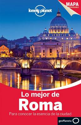
Lonely Planet Lo Mejor de Roma (Lonely Planet Best of Rome) (Lonely Planet Rome)
by Abigail Blasi and Duncan Garwood
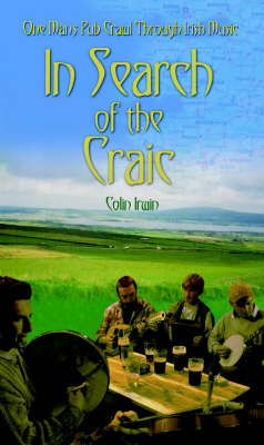
There is nothing quite like Irish music to stir the blood and lift the soul. Slow airs to make you weep, jigs to make you happy, songs to make you sing and reels to make you dance like a dervish. It travels well, but still there's nothing quite like hearing Irish music in Ireland. Not on big concert halls or grand arenas, or even the popular taverns on the tourist route, but in the small pubs in remote areas where the locals habitually gravitate for those informal sessions that invariably develo...
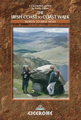
The Coast to Coast route through Ireland, from Dublin to the Atlantic coast, passes through glorious mountain and river country, and offers an opportunity to discover the heart of the Emerald Isle. The walk links several waymarked routes - the Wicklow Way, South Leinster Way, East Munster Way, Blackwater Way and the Kerry Way. Whether you intend to split this route into sections and enjoy the walk over a period of time, or walk it in one go, the alternative high-level routes along the way enable...
Clear, detailed road atlas of Ireland in a handy A4 spiral-bound format. This comprehensive, general purpose road atlas of the whole of Ireland is ideal for both business and pleasure use. The atlas contains a range of mapping scales:* 9 miles to 1 inch route planning map* Main maps at 3.2 miles to 1 inch, which are ideal for navigation.* A wide selection of detailed town centre street plans. This 2015 edition boasts road mapping packed with detail - showing colour classified...
Compass Guide to Oregon (Compass American Guides)
by Judy Jewell and Fodor's
Created by local writers and photographers, Compass American Guides are the ultimate insider's guides, providing in-depth coverage of the history, culture and character of America's most spectacular destinations. Covering everything there is to see and do as well as choice lodging and dining, these gorgeous full-color guides are perfect for new and longtime residents as well as vacationers who want a deep understanding of the region they're visiting. Outstanding color photography, plus a wealth...
With its unique mix of jaw-dropping landscapes, lively cities, friendly people and buzzing nightlife, it's hard to beat a holiday in Ireland. This book is the perfect companion to this alluring country, telling you all the best things to see and do and giving you more information on history and culture than any other guide. Our expert local author has fully updated the guide for this new edition, with reworked chapters on the Irish character, Dublin, and Galway and the West, while the Belfast ch...
