Mountains appear in the oldest known maps yet their representation has proven a notoriously difficult challenge for map makers. In this essay, Ernesto Capello surveys the broad history of relief representation in cartography with an emphasis on the allegorical, commercial and political uses of mapping mountains. After an initial overview and critique of the traditional historiography and development of techniques of relief representation, the essay features four clusters of mountain mapping emph...
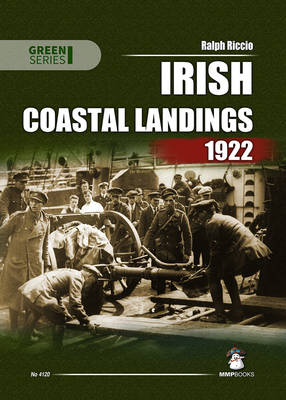
This book is a history of Irish National Army coastal landings, many of which have been previously unreported in histories of the Irish Civil War, that were carried out against Republican forces from July through December 1922. It provides details on each of the landings to include specific landing sites, the ships used to transport the troops, the number of troops, armoured cars and artillery involved, casualties, major personalities who participated, and objectives achieved. In addition to per...
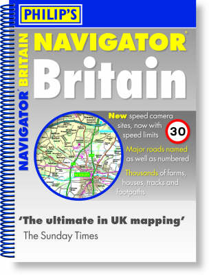
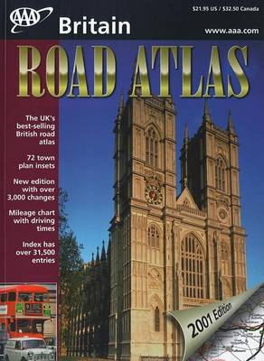
"Philip's Navigator[registered] Britain" shows speed-camera locations, with their speed limits, and provides over 3,000 road names as well as numbers. It also includes a massive selection of 72 indexed town-centre maps, plus airport and port maps, detailed approach maps, London main roads maps, detailed route-planning maps, a distance table, and a 43,000-name index which includes places of interest. The main road maps are at 1.5 miles to 1 inch (3 miles to 1 inch in the Scottish Highlands) and a...
Applied Minor Tactics (Including Map Problems and the War Game) Map Reading ...
by Jas A Moss
A comprehensive family travel guide to the special attractions just off the major U.S. interstates. Includes 104 maps, 525 full-color photos, directions, distances, phone numbers, days of operation, plus dozens of sidebars on regional history, geography, and culture.
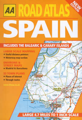
This "AA Road Atlas Spain" includes large scale mapping with useful distance pointers and a motorway map section. There are also 52 town plans with places of interest and through routes, as well as environs and street maps for Madrid and Barcelona.
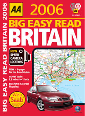
The 16th edition of this popular spiral bound, A3 sized superscale road atlas, has been fully revised and updated for 2006. Each page has been titled with its geographical location so you can turn to the page you need more easily. There is a full colour 2006 county unitary and administrative area map and a new 16-page 'on the road' guide. Each map has been created by experts at the AA to help you navigate Britain's roads safely and easily.
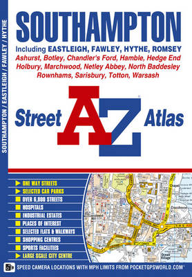
This A-Z map of Southampton features 50 pages of street mapping extending to include:*Eastleigh*Fawley*Hythe*Romsey*Southampton Airport*Totton*Chandler's Ford*Hamble-le-Rice*Hedge End*North Baddesley*Swaythling*West End A large scale city centre map of Southampton is also included. Postcode districts, one-way streets, safety cameras with speed limits and National Park boundaries are featured on the mapping. The index section lists streets; selected flats, walkways a...
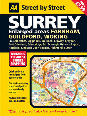
This is a new edition in the AA's groundbreaking series of "Street by Street" titles, covering Surrey, fully revised and updated for 2007. Presented in a handy glovebox size, the maps clearly show AA recommended restaurants, pubs, hotels, one-way streets and car parks. 24-hour petrol stations and garden centres are also highlighted. Also featuring a clever use of colour to ensure they can be read under street lighting and using National Grid referencing for easy navigation from page to page, the...

