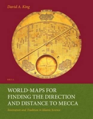
Two remarkable Iranian world-maps were discovered in 1989 and 1995. Both are made of brass and date from 17th-century Iran. Mecca is at the centre and a highly sophisticated longitude and latitude grid enables the user to determine the direction and distance to Mecca for anywhere in the world between Andalusia and China. Prior to the discovery of these maps it was thought that such cartographic grids were conceived in Europe ca. 1910. This richly-illustrated book presents an overview of the ways in which Muslims over the centuries have determined the sacred direction towards Mecca (qibla) and then describes the two world-maps in detail. The author shows that the geographical data derives from a 15th-century Central Asian source and that the mathematics underlying the grid was developed in 9th-century Baghdad.
- ISBN10 9004259872
- ISBN13 9789004259874
- Publish Date 1 January 1999
- Publish Status Active
- Publish Country NL
- Imprint Brill
- Format Paperback
- Pages 638
- Language English
- URL brill.com/product_id61406
