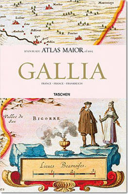
This work contains maps of France from Joan Blaeu's exquisite world atlas of 1665. "The Atlas Maior", the cartographical masterpiece of the Baroque period, was brought out between 1662 and 1665 by the Amsterdam publisher Joan Blaeu, one of Holland's leading cartographers. Originally appearing in Latin, the atlas comprised 594 maps in 11 volumes, which depicted the whole of the world as known to early modern Europe. It was the largest and most expensive book published during the 17th century. For more than 100 years, it remained the definitive atlas of the world, and today is among the most sought-after and valuable antiquarian rarities. This reprinted edition in six volumes is based on the hand-colored, gold-heightened copy in the "Osterreichische Nationalbibliothek" in Vienna, thus ensuring the best possible detail and quality. Alongside Joan Blaeu's original commentaries on the individual maps, a new text by Peter van der Krogt explains the historical and cultural associations and introduces the reader to the fascinating world of early modern cartography. This volume includes all 64 maps of France and the text is in French, English, and German.
- ISBN10 3822851051
- ISBN13 9783822851050
- Publish Date 9 November 2006 (first published 26 August 2005)
- Publish Status Out of Print
- Out of Print 29 September 2009
- Publish Country DE
- Imprint Taschen GmbH
- Edition Annotated edition
- Format Hardcover
- Pages 208
- Language English
